Maps showing the Norfolk, Albermarle & Atlantic Railroad and its connections. G.W. & C.B. Colton & Co. CREATED/PUBLISHED New York, 1891. NOTES Scale not given. Inset: [Norfolk and vicinity]
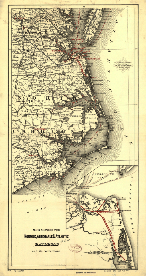
Maps showing the Norfolk, Albermarle & Atlantic Railroad and its connections.
Price range: $39.95 through $69.95
SKU: smnc21
Related products
-

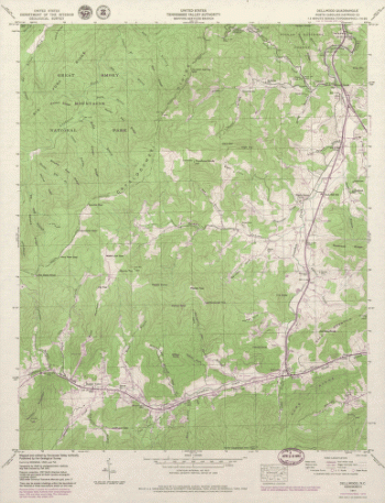
North Carolina. – Dellwood
Price range: $39.95 through $69.95 -
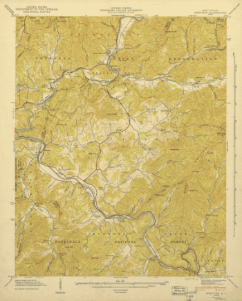
North Carolina. – Whittier
Price range: $39.95 through $69.95 -
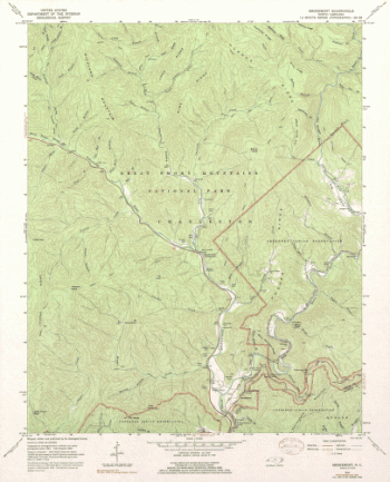
North Carolina. – Smokemont
Price range: $39.95 through $69.95 -
Western border states
Price range: $39.95 through $69.95