MAPS AND PHOTOGRAPHS OF THE PAST
U.S. Historical Archive is your one stop source of inexpensive, high quality reproduction maps and images of significant historical events in U.S. history.
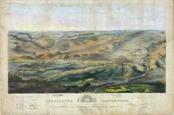
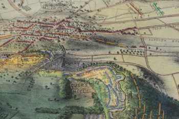
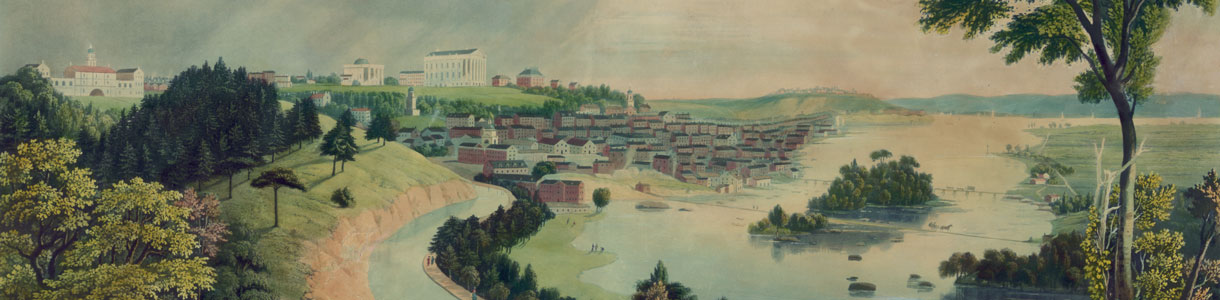
Feel free to peruse our store, step back in time and enjoy our many fascinating Panoramic Maps and Curtis American Indian Photos. And be sure to check out our vast and growing collection of Revolutionary War Maps all at reasonable prices.
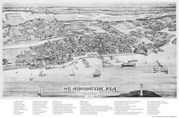
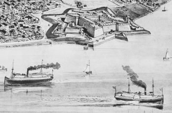
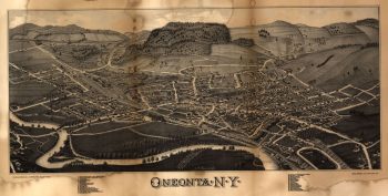
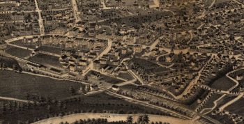
We currently offer a selection of approximately 900 quality detailed panoramic maps of various United States cities from the mid 1800’s to the early 1900’s.
We also offer 100’s of historical Railroad Maps, Civil War Maps and several American Indian Maps from the early 1800’s to the early 1900’s as well as a fascinating collection of over 5000 Photochrom (Photochrome) Prints from the late 1800’s showing a variety of fascinating scenes of people, architecture and sites in Europe, North Africa, and the Middle East.