-

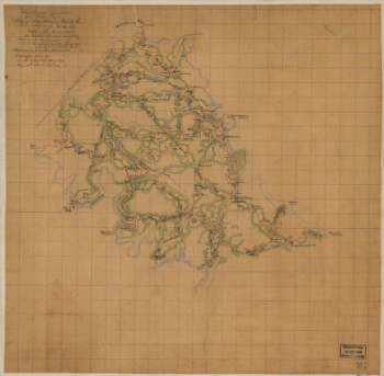
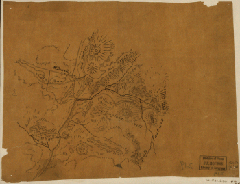
Sketch of roads and streams in Highland County, Va.
$17.95 – $47.95 -
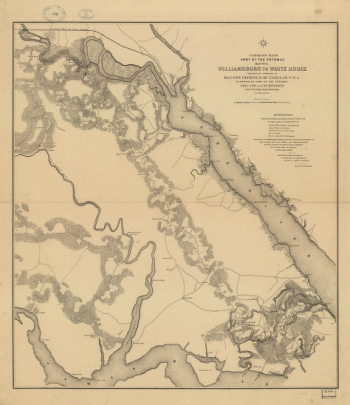
Williamsburg to White House
$17.95 – $47.95 -
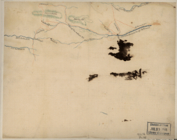
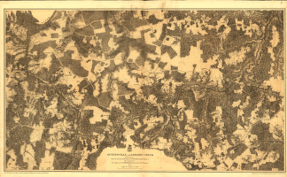
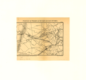
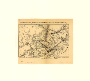
Jetersville and Sailors Creek
$17.95 – $47.95 -
Jetersville and Sailors Creek in 1865
$17.95 – $47.95 -
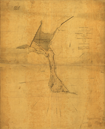
Jones Point, Potomac River, near Alexandria, Virginia
$17.95 – $47.95 -
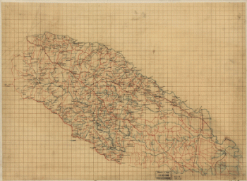
King William County, Va.
$17.95 – $47.95 -
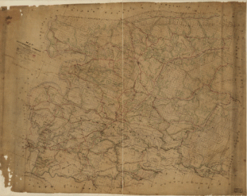
Louisa County and part of Hanover County, Va.
$17.95 – $47.95 -
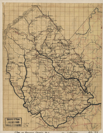
Map of Madison County, Va.
$17.95 – $47.95 -
Battle of Malvern Hill
$17.95 – $47.95 -
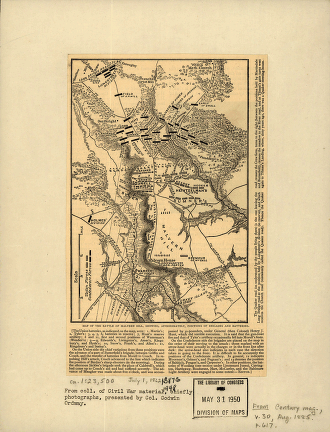
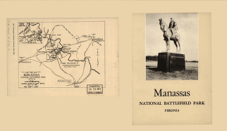
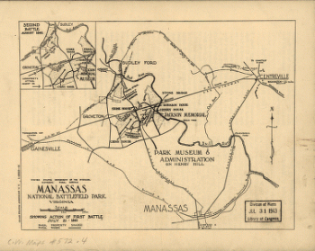
Manassas National Battlefield Park
$17.95 – $47.95 -
Manassas National Battlefield Park
$17.95 – $47.95 -
Manassas National Battlefield Park, Virginia
$17.95 – $47.95 -
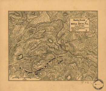
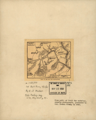
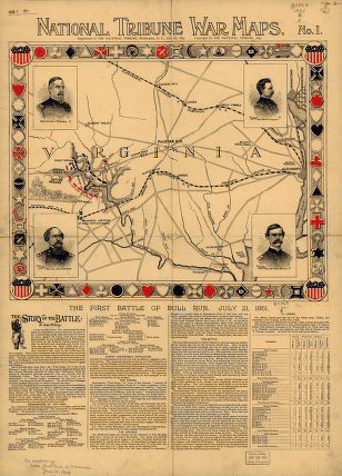
Battle field of Bull Run – July 21st 1861
$17.95 – $47.95 -
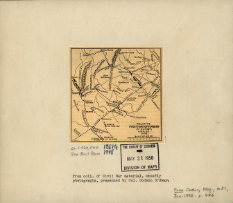
First Manassas
$17.95 – $47.95 -
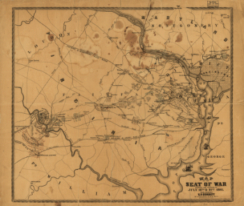
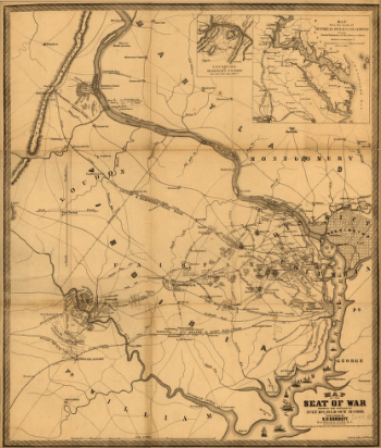
Seat of War
$17.95 – $47.95 -
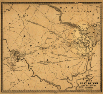
Map of the seat of war
$17.95 – $47.95 -
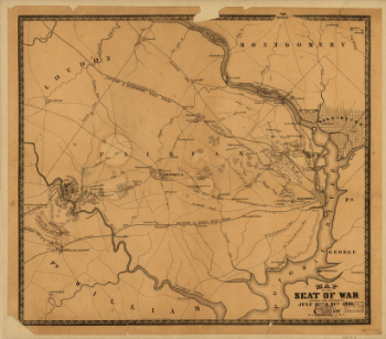
The Seat of War
$17.95 – $47.95 -
Map of the seat of war
$17.95 – $47.95 -
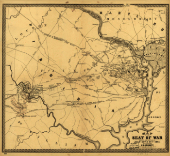
The Seat of War
$17.95 – $47.95 -
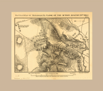
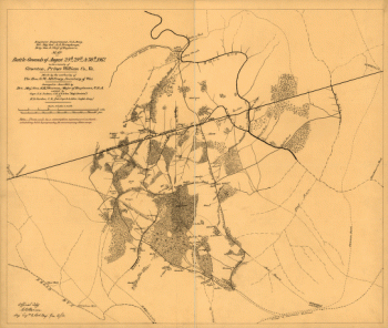
Second Manassas campaign
$17.95 – $47.95 -
Second Manassas battle
$17.95 – $47.95 -
Second Manassas battle
$17.95 – $47.95 -
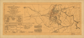
Battlefield of Manassas, Va.
$17.95 – $47.95 -
The battlefield of Bull Run, Virginia
$17.95 – $47.95 -
Map of battle-field of Manassas, Va.
$17.95 – $47.95 -
Map of Manassas battle-grounds
$17.95 – $47.95 -
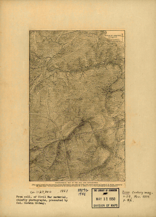
Topographical of the Bull Run battle-field of 1861
$17.95 – $47.95 -
General map of the battle-field of Manassas
$17.95 – $47.95 -
Plan of the Bull Run battle-field
$17.95 – $47.95 -
2nd Manassas campaign
$17.95 – $47.95 -
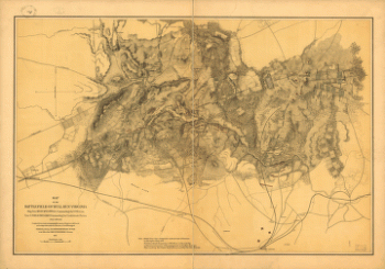
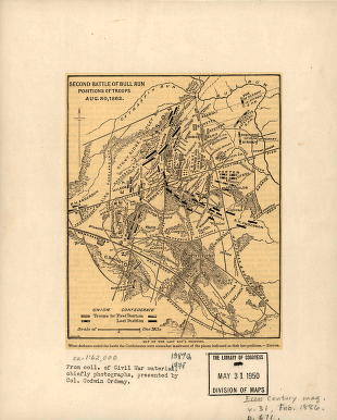
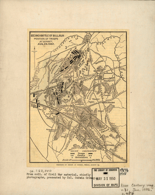
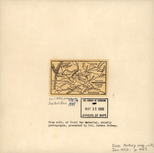
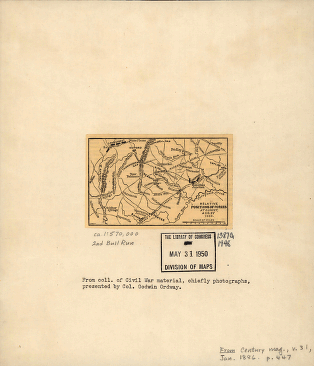
Second battle of Bull Run
$17.95 – $47.95 -
Second battle of Bull Run
$17.95 – $47.95 -
2nd Manassas Campaign
$17.95 – $47.95 -
2nd Manassas Campaign
$17.95 – $47.95 -
The first battle of Bull Run
$17.95 – $47.95 -
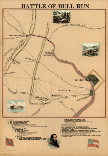
Battle of Bull Run
$17.95 – $47.95 -
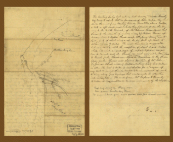
Sketch of the vicinity of McDowell, Va.
$17.95 – $47.95 -
Plan of the battle of Mechanicsville – June 26, 1862
$17.95 – $47.95 -
Map of Montgomery County
$17.95 – $47.95 -
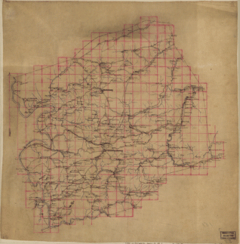
Map of Montgomery County, Va.
$17.95 – $47.95 -
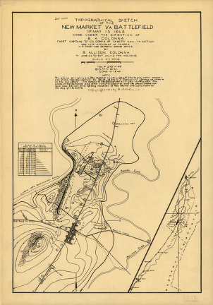
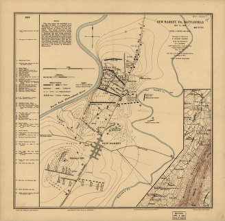
New Market, Va., battlefield May 15, 1864
$17.95 – $47.95 -
Vessels destroyed at Norfolk 1861
$17.95 – $47.95 -
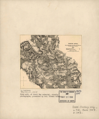
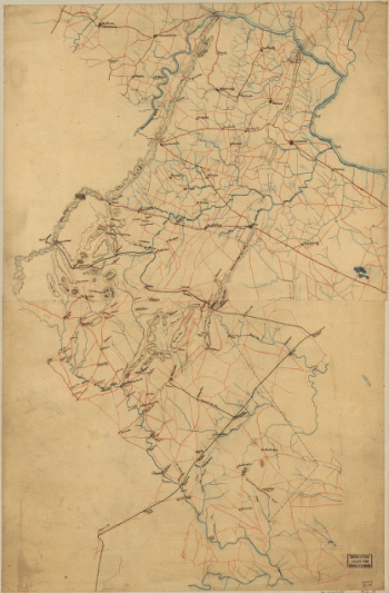
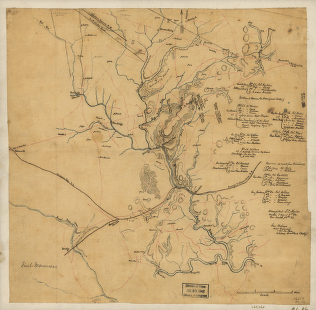
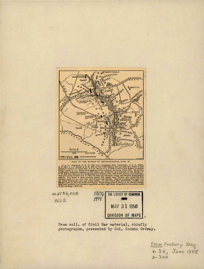
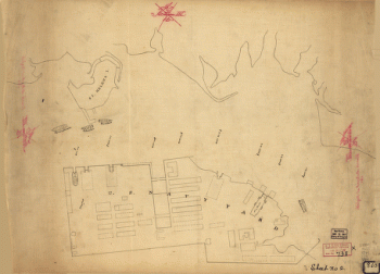
North Anna. [May 1864]
$17.95 – $47.95 -
Michler, N. (Nathaniel), 1827-1881
$17.95 – $47.95

![North Anna. [May 1864]](https://www.ushistoricalarchive.com/wp-content/uploads/nc/data/products/im/cw/va2/b63-350x279.gif)