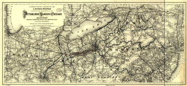
A correct map of a section of the United States showing the allignment [sic] of the Pittsburgh, Marion, and Chicago Railway between Chewton, Penna. and Marion, Ohio and connections. Map of parts of Pennsylvania and Ohio showing drainage, cities and towns, township and county boundaries, and coal fields. Railroad network distinguished by color. G.W. & C.B. Colton & Co. CREATED/PUBLISHED New York, 1887. Scale 1:1,267,200.


