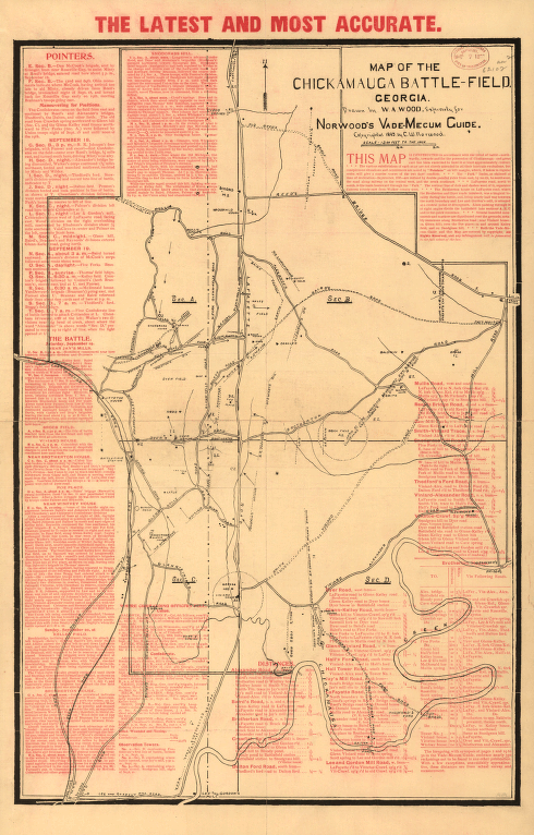
Drawn by W. A. Wood, expressly for Norwood's Vade-Mecum Guide. Wood, W. A., cartographer. CREATED/PUBLISHED [S.l.], c1895. NOTES Scale 1:14,400. In upper margin: The latest and most accurate. Indicates houses, names of residents, roads, drainage, Chattanooga, Rome, and Columbus railroad, and the boundary of the park at the time of dedication in September 1895. A description of the battle is overprinted in red and the important points of interest keyed by section, letter, and number to the map.


