12" x 18"
-


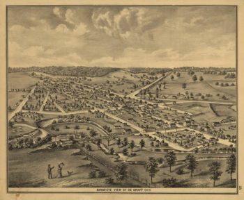
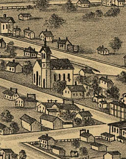
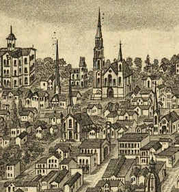
DeGraff OH 1875
$17.95 – $47.95 -
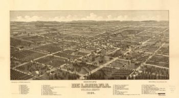
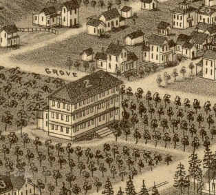
DeLand Florida in 1884
$17.95 – $47.95 -
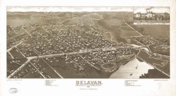
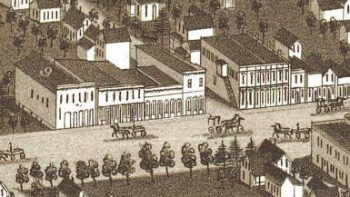
Delavan WI 1884
$17.95 – $47.95 -
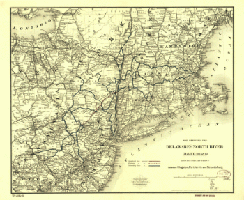
Delaware and North River Railroad
$17.95 – $47.95 -
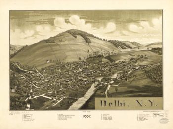
Delhi NY 1887
$17.95 – $47.95 -
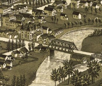
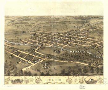
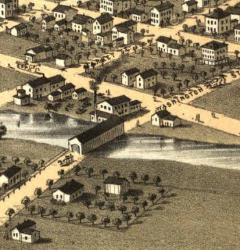
Delphi Indiana 1868
$17.95 – $47.95 -
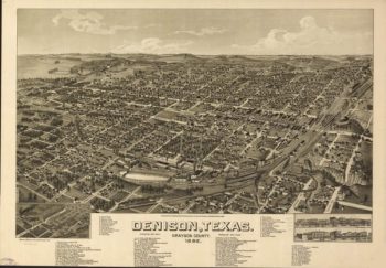
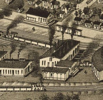
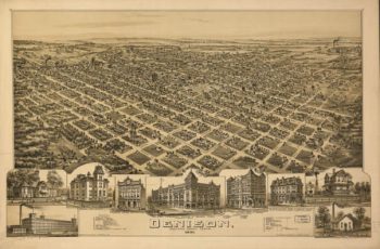
Denison TX 1886
$17.95 – $47.95 -
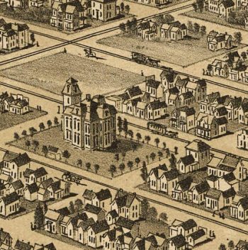
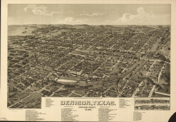
Denison TX 1891
$17.95 – $47.95 -
Denison, Grayson County, Texas 1891
$17.95 – $47.95 -
Denison, Texas, Grayson County 1886
$17.95 – $47.95 -
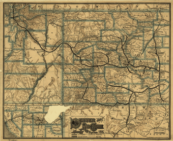
Denver and Rio Grande Railway Company
$17.95 – $47.95 -
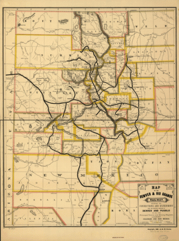
Denver and Rio Grande Railway Company
$17.95 – $47.95 -
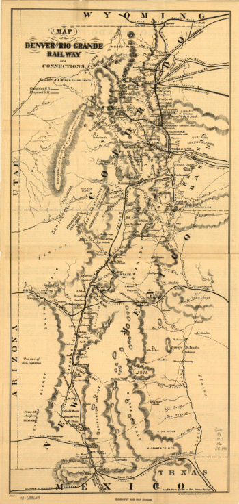
Denver and Rio Grande Railway Company
$17.95 – $47.95 -
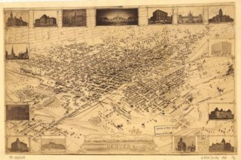
Denver CO in 1881
$17.95 – $47.95 -
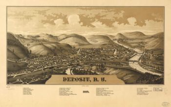
Deposit NY 1887
$17.95 – $47.95 -
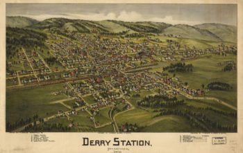
Derry PA 1900
$17.95 – $47.95 -
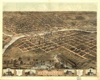
Des Moines Iowa 1868
$17.95 – $47.95 -
Des Moines Iowa 1875
$17.95 – $47.95 -
Design for Governor's Island
$17.95 – $47.95 -
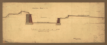
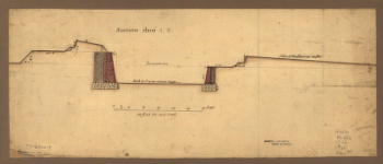
Designs for fortifying Governors Island near New York
$17.95 – $47.95 -
Designs for fortifying Governors Island near New York.
$17.95 – $47.95 -
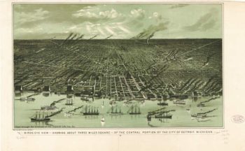
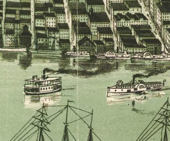
Detroit MI 1889
$17.95 – $47.95 -
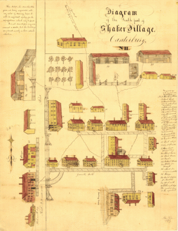
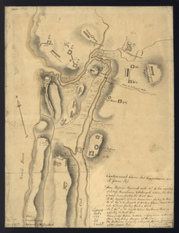
Diagram of the south part of Shaker Village, Canterbury, NH.
$17.95 – $47.95 -
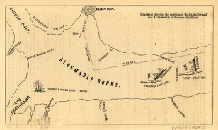
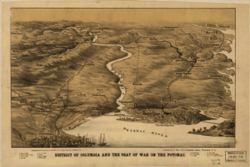
District of Columbia and the seat of war on the Potomac
$17.95 – $47.95 -
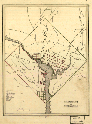
District of Columbia.
$17.95 – $47.95 -
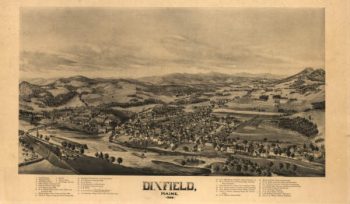
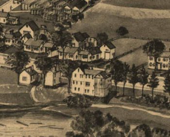
Dixfield Maine 1896
$17.95 – $47.95 -
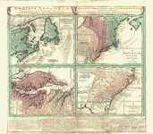
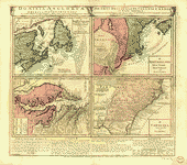
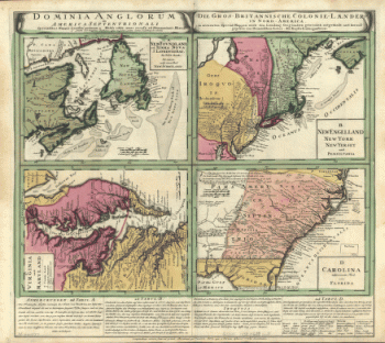
Dominia Anglorum in America Septentrionali
$17.95 – $47.95 -
Dominia Anglorum in America Septentrionali
$17.95 – $47.95 -
Dominia Anglorum in America Septentrionali
$17.95 – $47.95 -
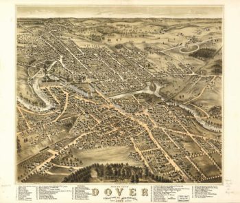
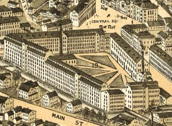
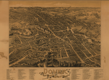
Dover NH 1877
$17.95 – $47.95 -
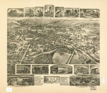
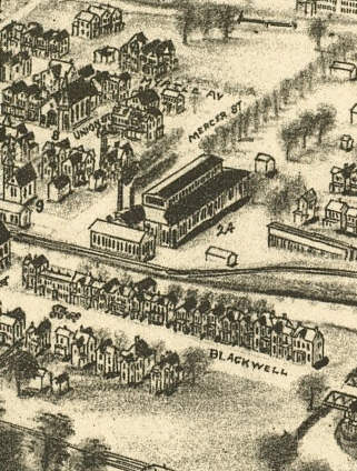
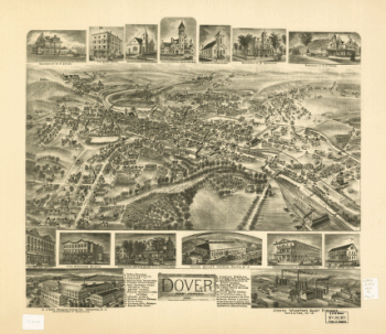
Dover NJ 1903
$17.95 – $47.95 -
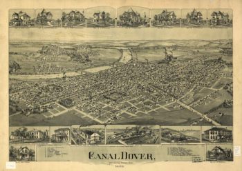
Dover OH 1899
$17.95 – $47.95 -
Dover, New Jersey 1903.
$17.95 – $47.95 -
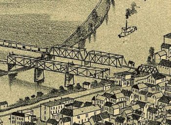
Dover, Stafford County, New Hampshire 1888.
$17.95 – $47.95 -
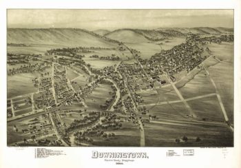
Downingtown PA 1893
$17.95 – $47.95 -
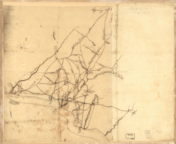
Draft of roads in New Jersey.
$17.95 – $47.95 -
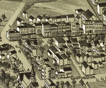
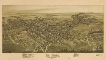
DuBois PA 1895
$17.95 – $47.95 -
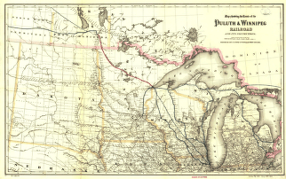
Duluth and Winnipeg Railway Company
$17.95 – $47.95 -
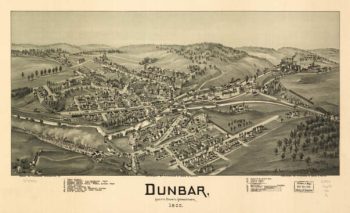
Dunbar PA 1900
$17.95 – $47.95 -
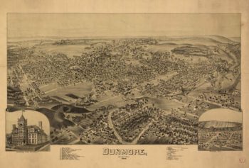
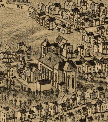
Dunmore PA 1892
$17.95 – $47.95