Home
All Products
Historic Maps
American Indian Maps
Birds Eye View Maps
Civil War Maps
Panoramic Maps
Railroad Maps
Revolutionary War Maps
State Maps
Historic Prints
Civil War Prints
Civil War Posters
Historic Portraits
Presidential Portraits
Contact Us
0
0
press
Enter
to search
Showing all results:
No products found.
American Indian Maps
Search
Search Product or SKU
×
Sort By
Default
Price: Low to High
Price: High to Low
Alphabetical
SKU
Categories
All
American Indian Maps
American Indian Photos
Birds Eye View Maps
CD Collections
Civil War Maps
Civil War Posters
Civil War Prints
Panoramic Maps
Photo-chromes
Presidential Portraits
Railroad Maps
Revolutionary War Maps
St. Augustine
State Maps
Showing
“American Indian Maps”
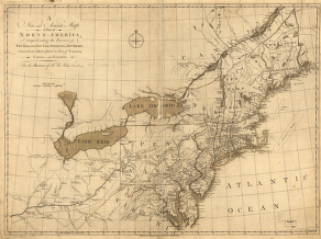
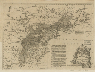
A new and accurate map of the English empire in North America
$
17.95
–
$
47.95
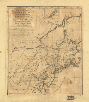
Pensilvania, Nove-Cesarea, Novi-Eboraci, Aquanishuonige et Canada
$
17.95
–
$
47.95
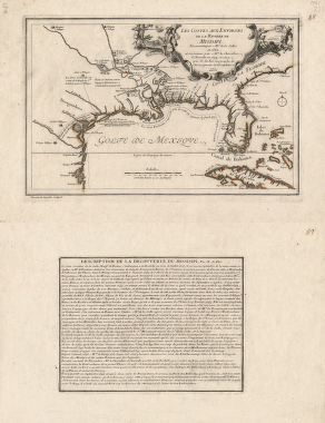
Les costes aux environs de la riviere de Misisipi
$
17.95
–
$
47.95
Carte de la Louisiane et des pays voisins
$
17.95
–
$
47.95
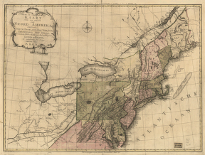
Nieuwe en nauwkeurige kaart van een gedeelte van Noord Amerika
$
17.95
–
$
47.95
A new map for travelers through the United States of America
$
17.95
–
$
47.95
Theatre de la guerre actuel entre les Anglais
$
17.95
–
$
47.95
Western border states
$
17.95
–
$
47.95
A new and accurate map of New Jersey, Pensilvania, New York and New England with the adjacent countries
$
17.95
–
$
47.95
Map of the military dep't of Texas
$
17.95
–
$
47.95
Partie occidentale de la Nouvelle France ou du Canada
$
17.95
–
$
47.95
Carte de la Nouvelle Angleterre, Nouvelle Yorck, et Pensilvanie. Pour servir a l'Histoire generale des voyages
$
17.95
–
$
47.95
A new and accurate map of part of North-America
$
17.95
–
$
47.95
A map of the British and French settlements in North America. J. Lodge
$
17.95
–
$
47.95
Route of the late expedtion
$
17.95
–
$
47.95
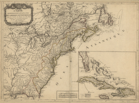
Carte generale des Etats Unis de l'Amerique Septentrionale
$
17.95
–
$
47.95
Karte der verschiendenen Pacific Eisenbahnen und deren Verbindung
$
17.95
–
$
47.95
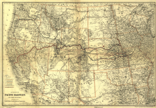
The Pacific Railroads and their branches
$
17.95
–
$
47.95
North America
$
17.95
–
$
47.95
Map of the territory of the United States from the Mississippi to the Pacific Ocean
$
17.95
–
$
47.95
Mapa del Golfo y costa de la Nueva Espaea
$
17.95
–
$
47.95
A general map of the middle British colonies in America
$
17.95
–
$
47.95
The Mississippi
$
17.95
–
$
47.95
An Indian map of the Upper-Missouri
$
17.95
–
$
47.95
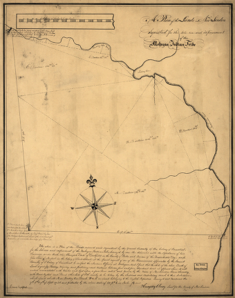
A plan of the lands in New London
$
17.95
–
$
47.95
The rivers Tombecbe, Alabama, Tensa, Perdido, & Scambia in the province of West Florida
$
17.95
–
$
47.95
Plan of part of western front
$
17.95
–
$
47.95
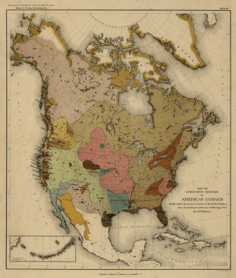
Map of linguistic stocks of American Indians
$
17.95
–
$
47.95
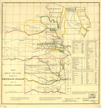
The lands assigned to emigrant Indians west of Arkansas and Missouri
$
17.95
–
$
47.95
Map of the Indian and Oklahoma territories
$
17.95
–
$
47.95
The Monongahela, with the field of battle
$
17.95
–
$
47.95
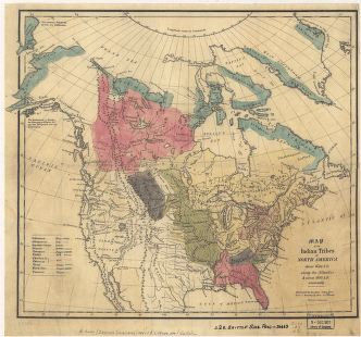
Map of the Indian tribes of North America
$
17.95
–
$
47.95
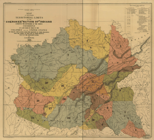
Map showing the territory originally assigned Cherokee 'Nation of' Indians
$
17.95
–
$
47.95
Map of the former territorial limits of the Cherokee 'Nation of' Indians
$
17.95
–
$
47.95
Indian territory
$
17.95
–
$
47.95
Indian Reservations west of the Mississippi River
$
17.95
–
$
47.95
Map of the Spokane Indian Reservation, Stevens County, Washington
$
17.95
–
$
47.95
Indian territory
$
17.95
–
$
47.95
Premier series map of Oklahoma and Indian Territory
$
17.95
–
$
47.95
Captain Snow's scetch of the country by himself, and the best accounts he could receive from the Indian traders
$
17.95
–
$
47.95
Discovering the legacy of Lewis and Clark : bicentennial commemoration 2003-2006
$
17.95
–
$
47.95
Plan of the fort and fortress at Crown Point with their environs
$
17.95
–
$
47.95
State of Kansas, 1884
$
17.95
–
$
47.95
Northern Pacific Railway 1900
$
17.95
–
$
47.95
The Santa Fe Route and connections, 1888
$
17.95
–
$
47.95
Official railroad map of Dakota issued by the railroad commissioners, November 1st, 1886
$
17.95
–
$
47.95
Plan of Fort William Henry and camp at Lake George. W. Eyre, engr. I. Heath dt
$
17.95
–
$
47.95
A map of the United States of America agreeable to the peace of 1783
$
17.95
–
$
47.95
1
2
Load More
All products loaded.
Search Product or SKU
×
Home
All Products
Historic Maps
American Indian Maps
Birds Eye View Maps
Civil War Maps
Panoramic Maps
Railroad Maps
Revolutionary War Maps
State Maps
Historic Prints
Civil War Prints
Civil War Posters
Historic Portraits
Presidential Portraits
Contact Us
Cart
0
Cart
Close
Updating…
No products in the cart.
Continue shopping