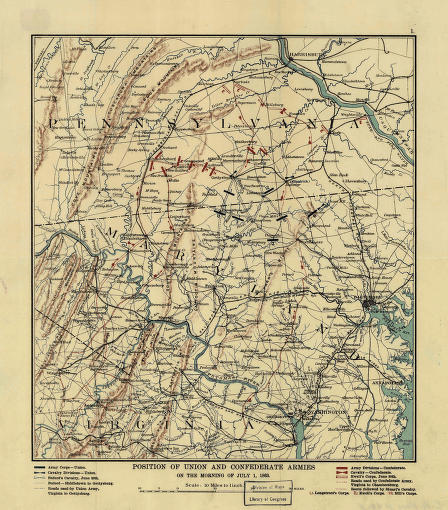
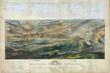
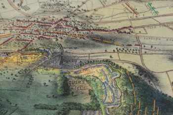
CREATED/PUBLISHED [S.l.], n.p., [19-?] NOTES Scale 1:633,600 (10 miles to 1 inch). Map of northeastern Virginia, Maryland, and southern Pennsylvania showing roads, railroads, cities and towns, drainage, relief by hachures, and troop positions at the begin

