Illustrating the operations of the U.S. forces, in the Department of the Gulf Drawn by H. Lindenkohl. E. Moliter lith. United States Coast Survey. CREATED/PUBLISHED [S.l.], 1863. NOTES Scale ca. 1:380,160. In margin at bottom: Line of marsh [sic] of Gen. Banks corps d'armee April & Mai 1863. Map extends from Natchez, Mississippi, in the north to Marsh Island, Louisiana, in the south, and Columbia, Mississippi, in the east to Alexandria, Louisiana, in the west. Roads, railroads, drainage, and towns are shown.
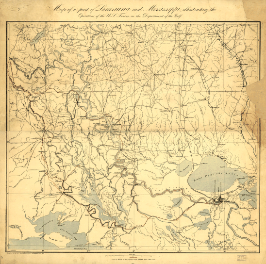
Part of Louisiana and Mississippi
$17.95 – $47.95
SKU: smla4
Related products
-

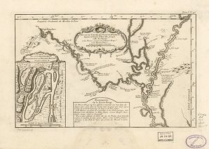
Suite du cours du fleuve
$17.95 – $47.95 -
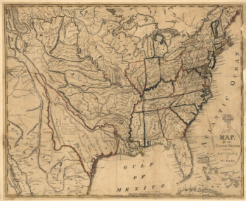
United States including Louisiana
$17.95 – $47.95 -
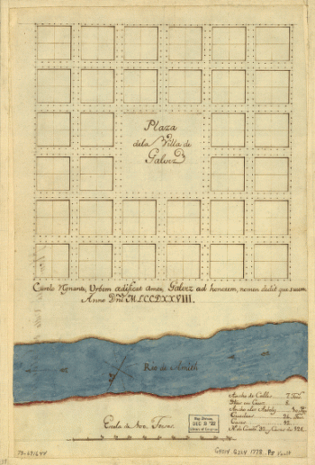
Plaza de la villa de Galvez.
$17.95 – $47.95