CREATED/PUBLISHED [S.l.], 1895.
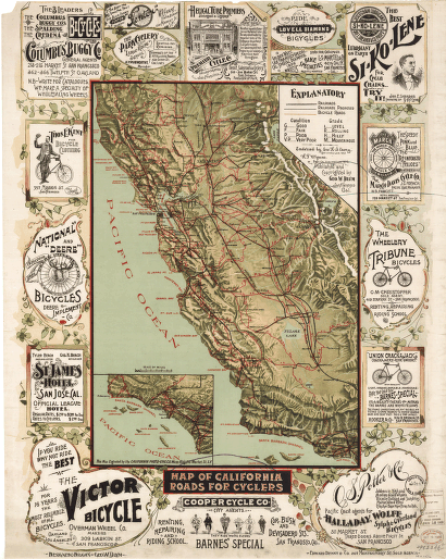
Map of California roads for cyclers.
$17.95 – $47.95
SKU: smca1
Related products
-

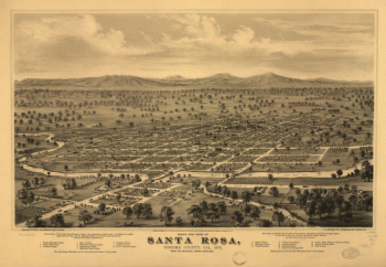
Bird's eye view of Santa Rosa, Sonoma County, Cal., 1876.
$17.95 – $47.95 -
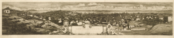
San Francisco.
$17.95 – $47.95 -
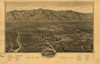
View of San Gabriel, Cal.
$17.95 – $47.95 -
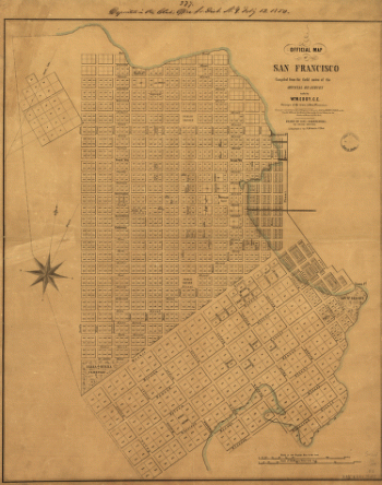
Official map of San Francisco.
$17.95 – $47.95