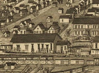
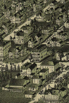
Panoramic Maps
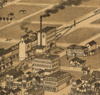
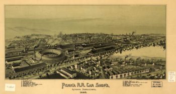
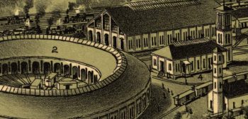
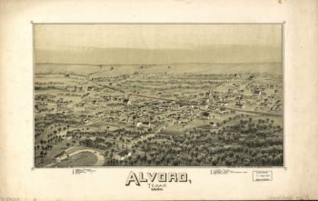
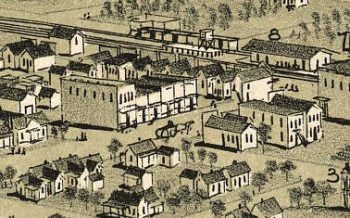
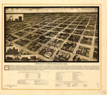
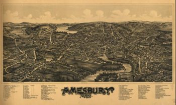
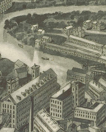
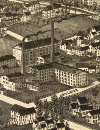
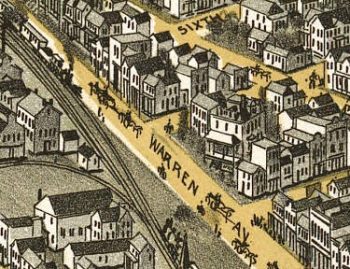
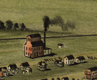
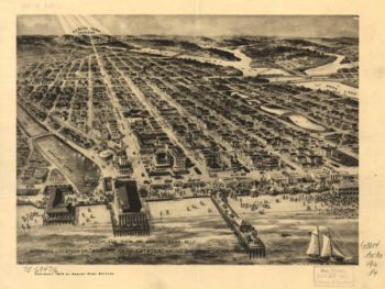
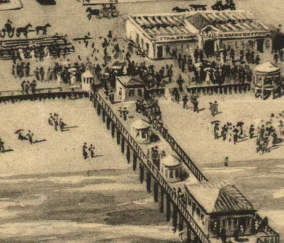
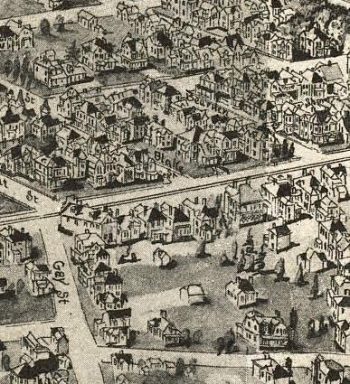
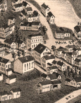
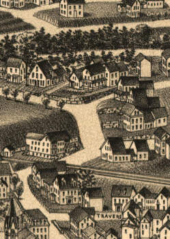
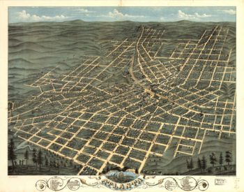
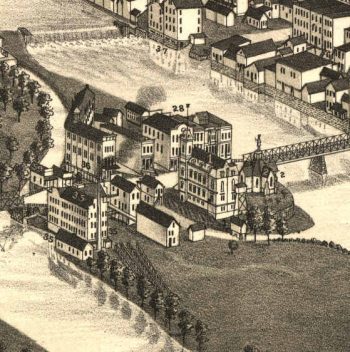
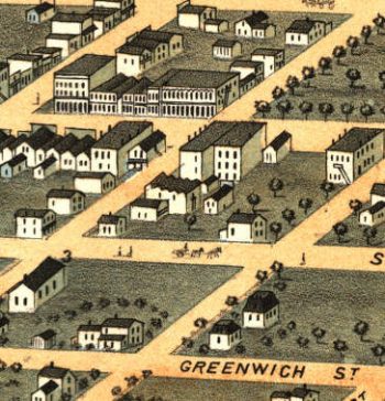
The panoramic map was a popular cartographic form used to depict U.S. and Canadian cities and towns during the late nineteenth and early twentieth centuries (1847 to 1929.) Known also as bird’s-eye views, perspective maps, and aero views, panoramic maps are nonphotographic representations of cities portrayed as if viewed from above at an oblique angle. Although not generally drawn to scale, they show street patterns, individual buildings, and major landscape features in perspective.
Panoramic maps were frequently commissioned by a chamber of commerce or real estate agency and were often subscribed to by various members of the rising middle class who displayed views of their hometown with great civic pride. These maps reveal much about the great contrasts and contradictions of the industrial age and the progressive era.
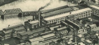
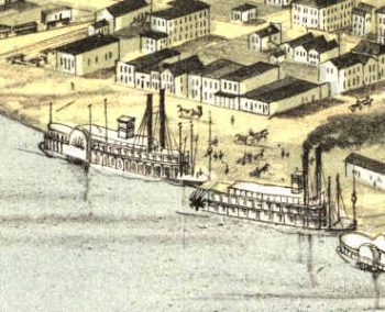
Panoramic maps graphically depict the vibrant life of a city. Harbors are shown choked with ships, often to the extent of constituting hazards to navigation. Trains speed along railroad tracks, at times on the same roadbed with locomotives and cars headed in the opposite direction. People and horsedrawn carriages fill the streets, and smoke belches from the stacks of industrial plants. Urban and industrial development in post-Civil War America is vividly portrayed in the maps.
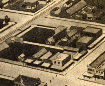
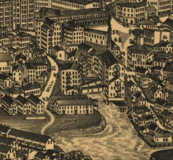
Preparation of panoramic maps involved a vast amount of painstakingly detailed labor. For each project a frame or projection was developed, showing in perspective the pattern of streets. The artist then walked in the street, sketching buildings, trees, and other features to present a complete and accurate landscape as though seen from an elevation of 2,000 to 3,000 feet.
-


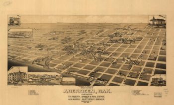
Aberdeen SD 1883
Price range: $39.95 through $69.95 -
Absecon NJ 1924
Price range: $39.95 through $69.95 -
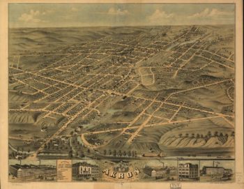
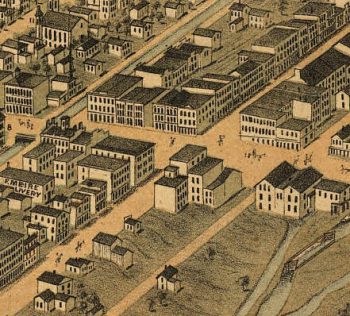
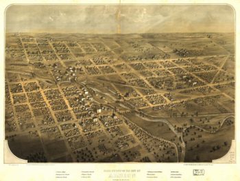
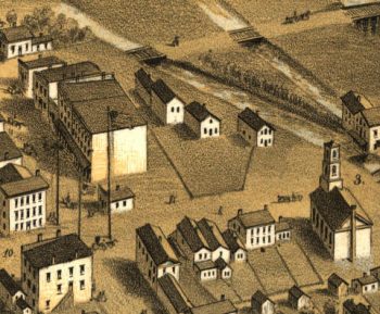
Akron OH 1870
Price range: $39.95 through $69.95 -
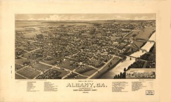
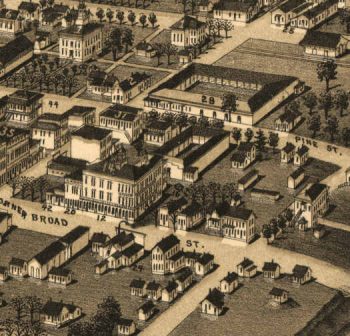
Albany Georgia in 1885
Price range: $39.95 through $69.95 -
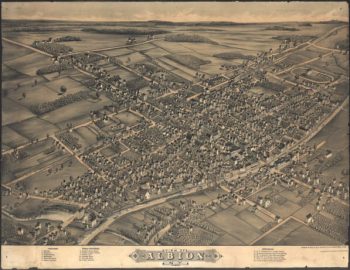
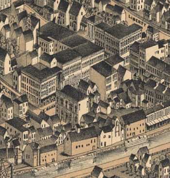
Albion MI 1868
Price range: $39.95 through $69.95 -
Albion NY 1880
Price range: $39.95 through $69.95 -
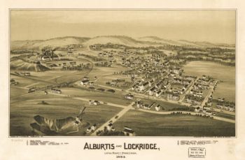
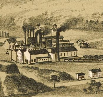
Alburtis / Lockridge PA 1893
Price range: $39.95 through $69.95 -
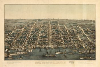
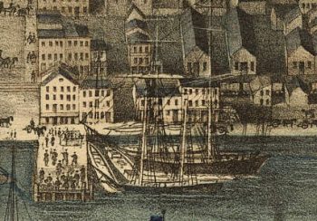
Alexandria VA 1863
Price range: $39.95 through $69.95 -
Alexandria VA 1890's
Price range: $39.95 through $69.95 -
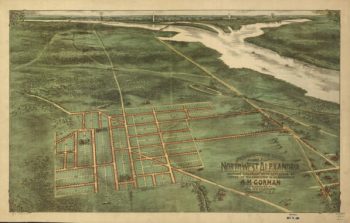
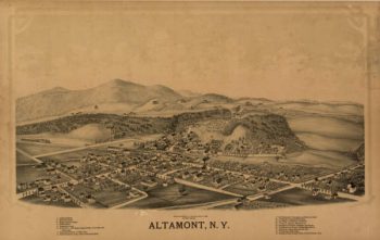
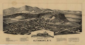
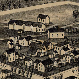
Altamont NY 1889
Price range: $39.95 through $69.95 -
Altamont NY 1890
Price range: $39.95 through $69.95 -
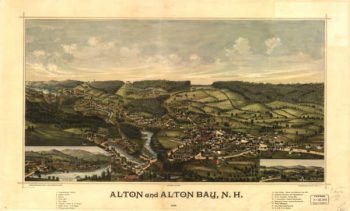
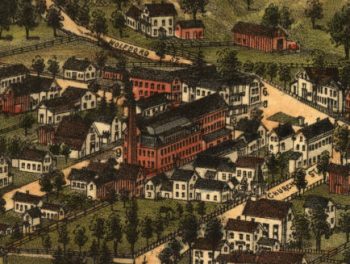
Alton Bay NH Color 1888
Price range: $39.95 through $69.95 -
Altoona PA 1895
Price range: $39.95 through $69.95 -
Alvord TX 1890
Price range: $39.95 through $69.95 -
Amarillo TX 1912
Price range: $39.95 through $69.95 -
Amesbury Massachusetts 1890
Price range: $39.95 through $69.95 -
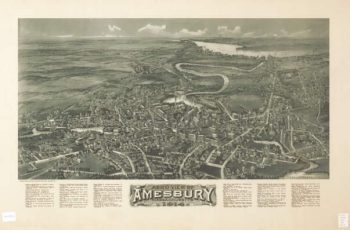
Amesbury Massachusetts 1914
Price range: $39.95 through $69.95 -
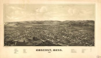
Amherst Massachusetts 1886
Price range: $39.95 through $69.95 -
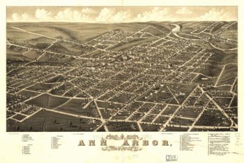
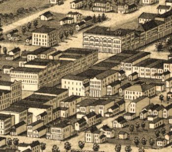
Ann Arbor MI 1880
Price range: $39.95 through $69.95 -
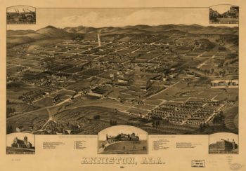
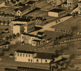
Anniston AL in 1887
Price range: $39.95 through $69.95 -
Anoka MN 1869
Price range: $39.95 through $69.95 -
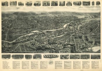
Ansonia CT in 1921
Price range: $39.95 through $69.95 -
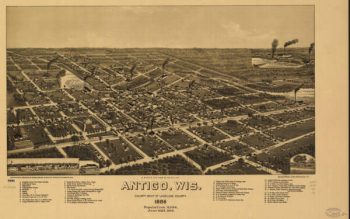
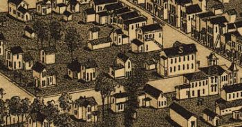
Antigo WI 1886
Price range: $39.95 through $69.95 -
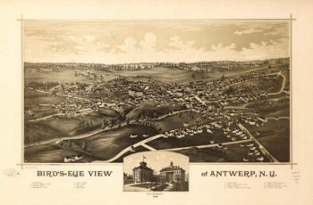
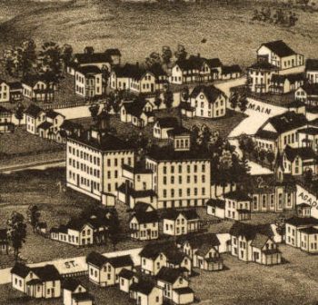
Antwerp NY 1888
Price range: $39.95 through $69.95 -
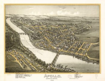
Apollo PA 1896
Price range: $39.95 through $69.95 -
Appleton MN 1874
Price range: $39.95 through $69.95 -
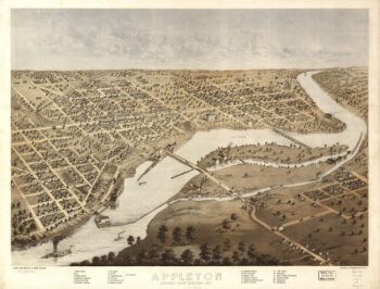
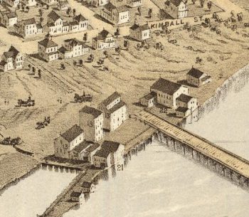
Appleton WI 1887
Price range: $39.95 through $69.95 -
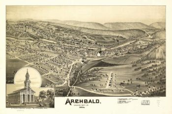
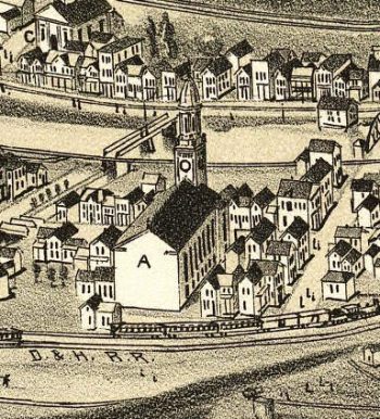
Archbald PA 1892
Price range: $39.95 through $69.95 -
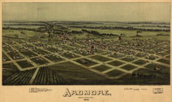
Ardmore OK 1891
Price range: $39.95 through $69.95 -
Asbury Park NJ 1910
Price range: $39.95 through $69.95 -
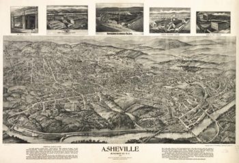
Asheville NC 1912
Price range: $39.95 through $69.95 -
Ashland NH 1883
Price range: $39.95 through $69.95 -
Ashland WI 1886
Price range: $39.95 through $69.95 -
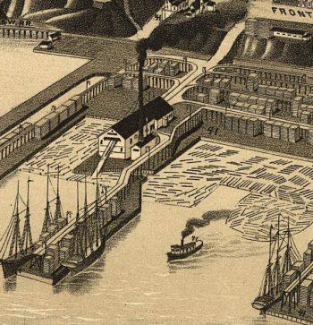
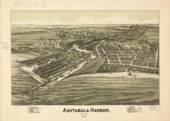
Ashtabula OH 1896
Price range: $39.95 through $69.95 -
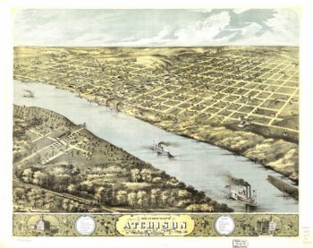
Atchison Kansas 1869
Price range: $39.95 through $69.95 -
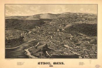
Athol Massachusetts 1887
Price range: $39.95 through $69.95 -
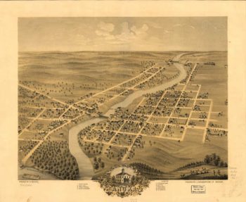
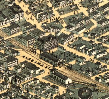
Atlanta Georgia in 1871
Price range: $39.95 through $69.95 -
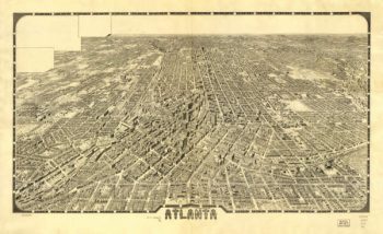
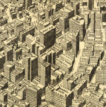
Atlanta Georgia in 1919
Price range: $39.95 through $69.95 -
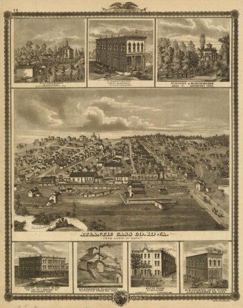
Atlantic Cass Co Iowa 1875
Price range: $39.95 through $69.95 -
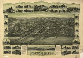
Atlantic Highlands NJ 1894
Price range: $39.95 through $69.95 -
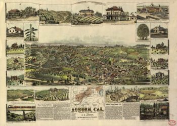
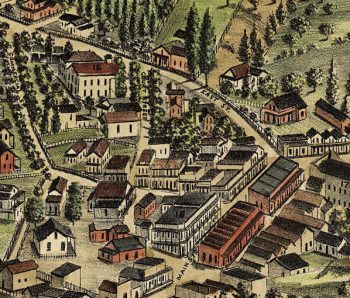
Auburn CA in 1887
Price range: $39.95 through $69.95 -
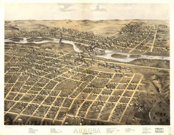
Aurora Illinois in 1867
Price range: $39.95 through $69.95 -
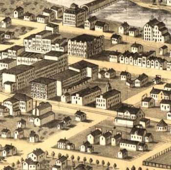
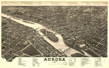
Aurora Illinois in 1882
Price range: $39.95 through $69.95 -
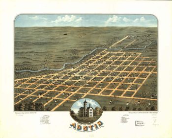
Austin MN 1870
Price range: $39.95 through $69.95 -
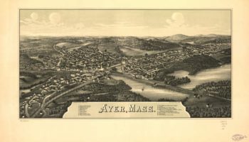
Ayer Massachusetts 1886
Price range: $39.95 through $69.95 -
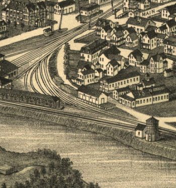
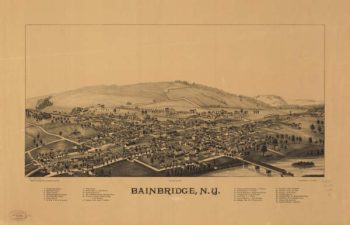
Bainbridge NY 1889
Price range: $39.95 through $69.95 -
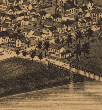
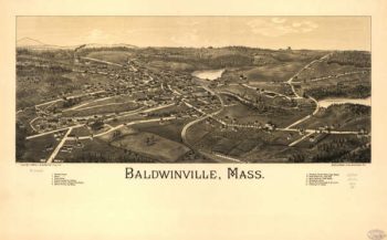
Baldwinville Massachusetts 1886
Price range: $39.95 through $69.95 -
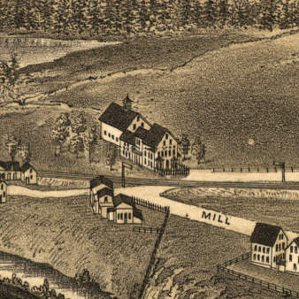
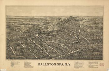
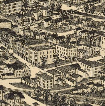
Ballston Spa NY 1890's
Price range: $39.95 through $69.95