Ohio
-

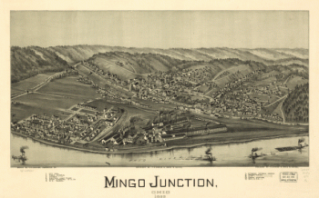
Mingo Junction, Ohio 1899
$17.95 – $47.95 -
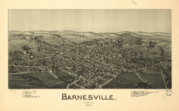
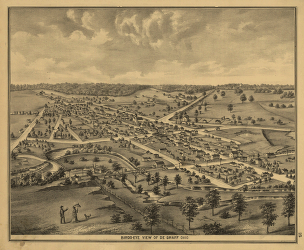
Barnesville, Ohio 1899
$17.95 – $47.95 -
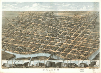
Dayton, Ohio 1870.
$17.95 – $47.95 -
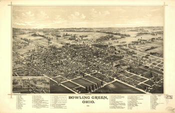
Bowling Green, Ohio 1888. Burleigh Lith. Est.
$17.95 – $47.95 -
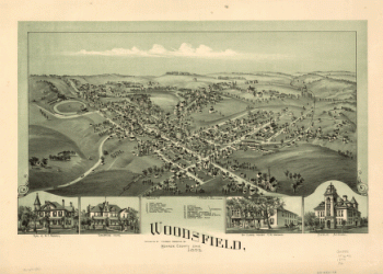
Woodsfield, Monroe County, Ohio, 1899
$17.95 – $47.95 -
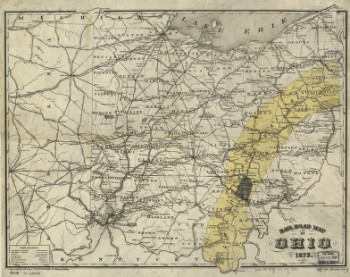
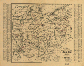
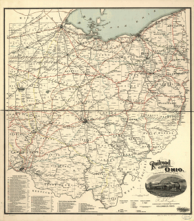
Rail road map of Ohio 1873.
$17.95 – $47.95 -
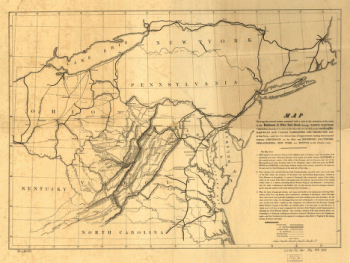
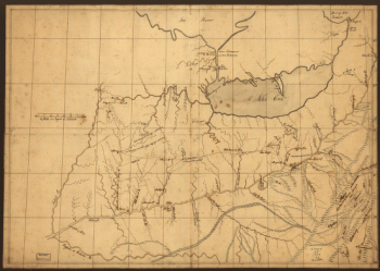
A trader's map of the Ohio country before 1753.
$17.95 – $47.95 -
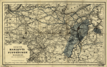
Map of the Marietta and Pittsburgh Railroad and its connections.
$17.95 – $47.95 -
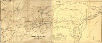
Map of the Central Ohio Railroad and connecting lines.
$17.95 – $47.95 -
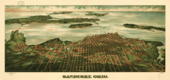
Sandusky, Ohio. Gugler Litho. Co.
$17.95 – $47.95 -
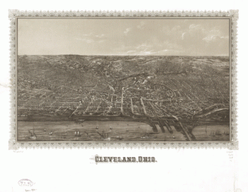
Cleveland, Ohio.
$17.95 – $47.95 -
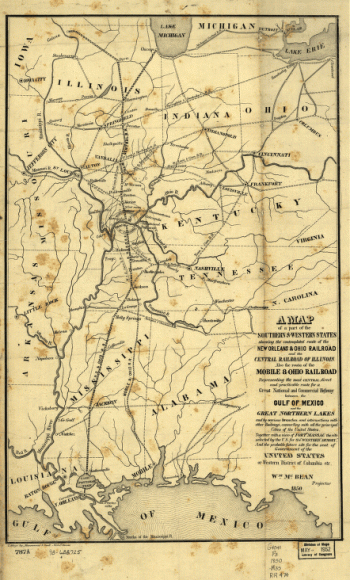
A map of a part of the southern & western states
$17.95 – $47.95 -
Hillsborough & Cincinnati Railroad map
$17.95 – $47.95 -
Hillsborough & Cincinnati Rail-road map
$17.95 – $47.95 -
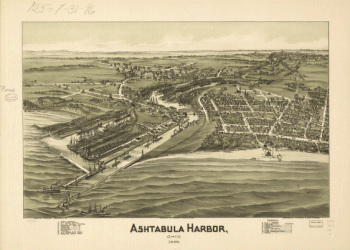
Ashtabula Harbor, Ohio 1896.
$17.95 – $47.95 -
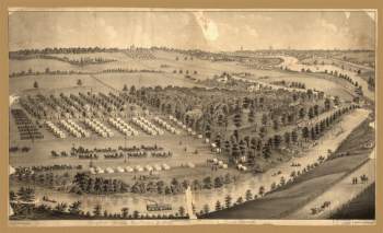
Army camp at Gaylord's Grove, Cuyahoga Falls, Ohio
$17.95 – $47.95 -
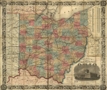
Railroad map of Ohio
$17.95 – $47.95 -
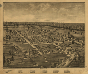
Map of Logan county, Ohio
$17.95 – $47.95 -
Map of Logan county, Ohio
$17.95 – $47.95