Virginia
-

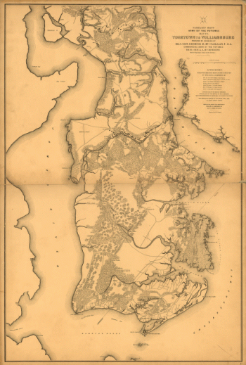
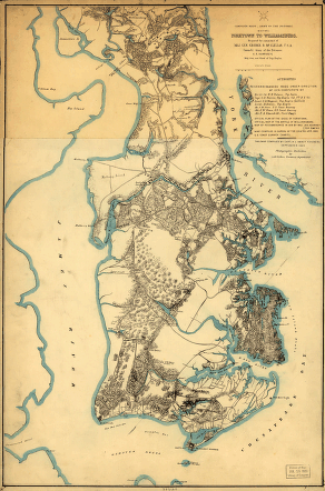
Yorktown to Williamsburg
$17.95 – $47.95 -
Yorktown to Williamsburg
$17.95 – $47.95 -
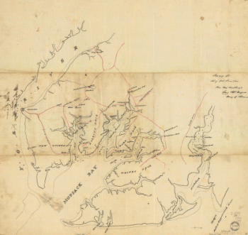
York River and Mobjack Bay, Va
$17.95 – $47.95 -
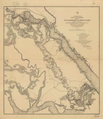
Williamsburg to White House
$17.95 – $47.95 -
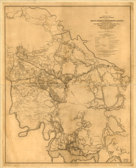
White House to Harrisons Landing
$17.95 – $47.95 -
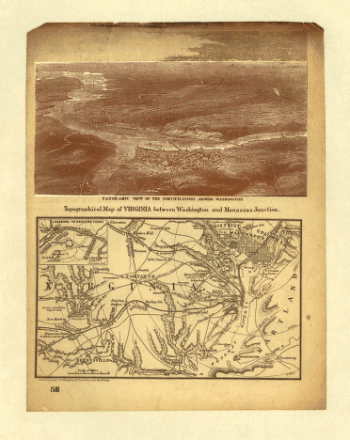
Virginia between Washington and Manassas Junction
$17.95 – $47.95 -
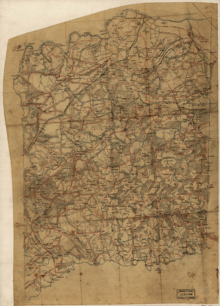
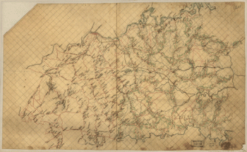
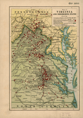
Virginia and neighboring states
$17.95 – $47.95 -
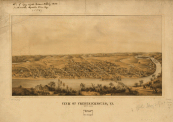
View of Fredericksburg, Va. Nov. 1862
$17.95 – $47.95 -
Vessels destroyed at Norfolk 1861
$17.95 – $47.95 -
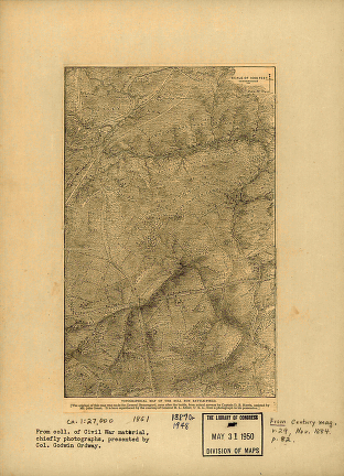
Totopotomoy [1864]
$17.95 – $47.95 -
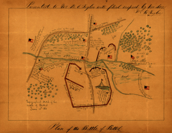
Topographical sketch of the Battle of Bethel
$17.95 – $47.95 -
Topographical of the Bull Run battle-field of 1861
$17.95 – $47.95 -
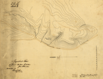
Topographic map of the battle-field of Port Republic
$17.95 – $47.95 -
Topographic map of Fredericksburg and vicinity, Virginia
$17.95 – $47.95 -
Thirty five miles around Richmond, Va – Map 2
$17.95 – $47.95 -
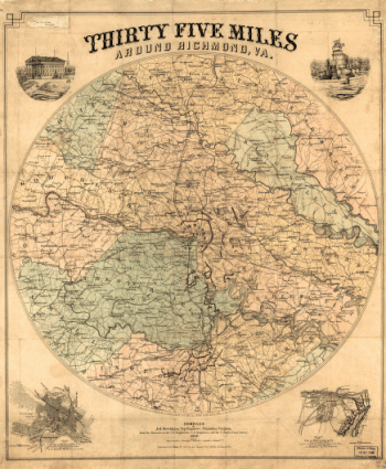
Thirty five miles around Richmond, Va – Map 1
$17.95 – $47.95 -
The Wilderness. [May 5-7, 1864]
$17.95 – $47.95 -
The Wilderness [1864]
$17.95 – $47.95 -
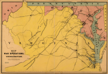
The war operations in Virginia & Maryland
$17.95 – $47.95 -
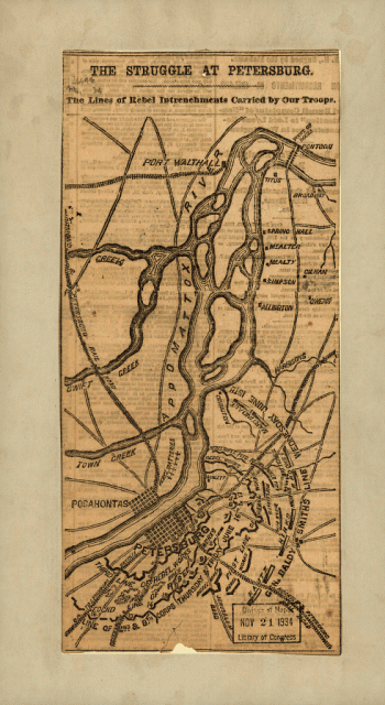
The struggle of Petersburg
$17.95 – $47.95 -
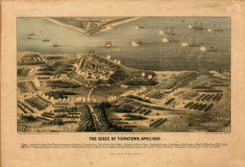
The siege of Yorktown, April 1862
$17.95 – $47.95 -
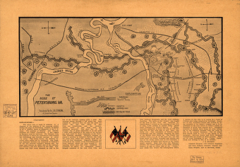
The seige of Petersburg, Va.
$17.95 – $47.95 -
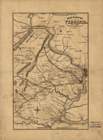
The seat of war in Virginia, Dec. 1, 1862
$17.95 – $47.95 -
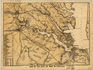
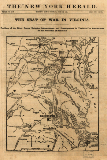
The seat of war in Virginia
$17.95 – $47.95 -
The seat of war in Virginia
$17.95 – $47.95 -
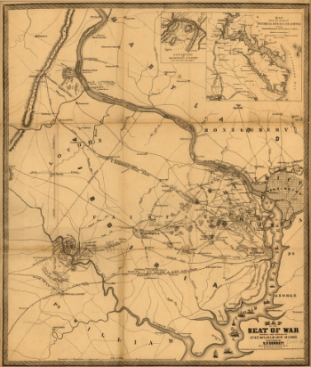
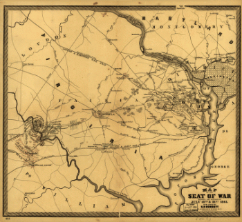
The Seat of War
$17.95 – $47.95 -
The Seat of War
$17.95 – $47.95 -
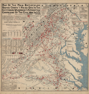
The main battlefields, routes, camps and head quarters
$17.95 – $47.95 -
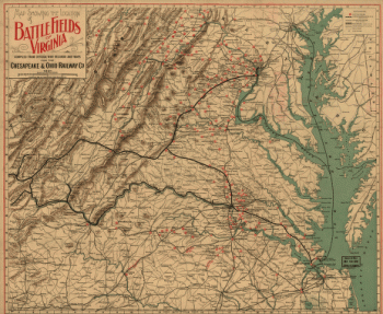
The locations of battle fields of Virginia
$17.95 – $47.95 -
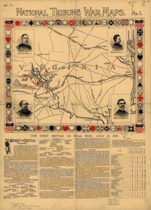
The first battle of Bull Run
$17.95 – $47.95 -
The entrenched lines in the immediate front of Petersburg
$17.95 – $47.95 -
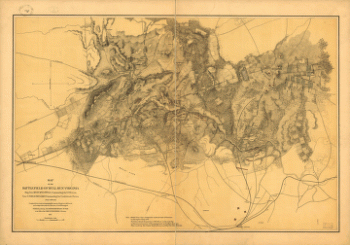
The defenses of Petersburg, Virginia
$17.95 – $47.95 -
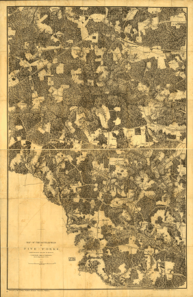
The battlefield of Five-Forks
$17.95 – $47.95 -
The battlefield of Bull Run, Virginia
$17.95 – $47.95 -
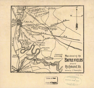
The battle-fields around Richmond, Va
$17.95 – $47.95 -
The battle of Frayser's Farm
$17.95 – $47.95 -
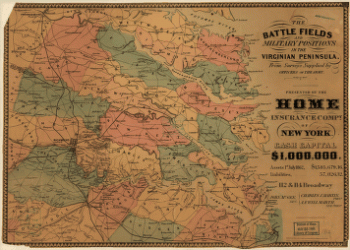
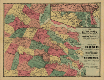
The battle fields and military positions in eastern Virginia
$17.95 – $47.95 -
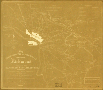
The approaches to the city of Richmond
$17.95 – $47.95 -
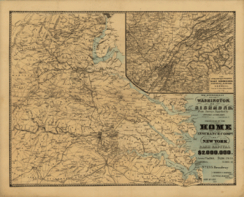
The approaches from Washington to Richmond
$17.95 – $47.95 -
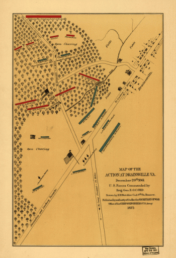
The action at Drainsville, Va., December 20th 1861
$17.95 – $47.95 -
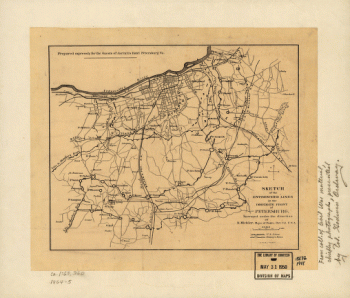
Stafford County
$17.95 – $47.95 -
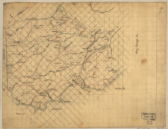
Spotsylvania County
$17.95 – $47.95 -
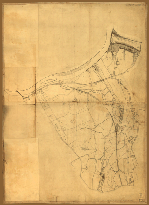
Spotsylvania and Caroline Counties
$17.95 – $47.95
![Totopotomoy [1864]](https://www.ushistoricalarchive.com/wp-content/uploads/nc/data/products/im/cw/va3/b27-350x223.gif)
![The Wilderness. [May 5-7, 1864]](https://www.ushistoricalarchive.com/wp-content/uploads/nc/data/products/im/cw/va3/b75.gif)
![The Wilderness [1864]](https://www.ushistoricalarchive.com/wp-content/uploads/nc/data/products/im/cw/va3/b72-350x553.gif)