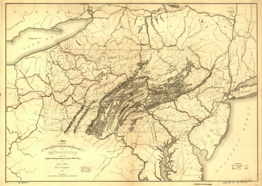
Map of the proposed Great Western and Lake Erie Rail Road of Pennsylvania projected for the Sunbury Erie and Pittsburg [sic] Rail Road Convention by James Herron Civil Engineer. Physical map of Pennsylvania and parts of adjacent states showing drainage, relief by hachures, spot heights in feet, state boundaries, canals, cities and towns. Finished and proposed railroads with names of lines and mileages are indicated. Herron, James. CREATED/PUBLISHED [n.p.], 1847. Scale ca. 1:1,100,000.


