24" x 36"
-

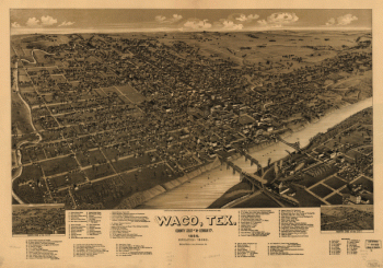
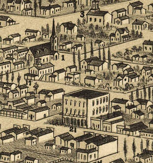
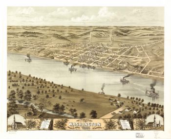
Waco, Texas, county seat of McLennan Cy. 1886
$17.95 – $47.95 -

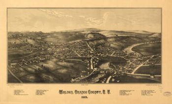
Walden NY 1887
$17.95 – $47.95 -
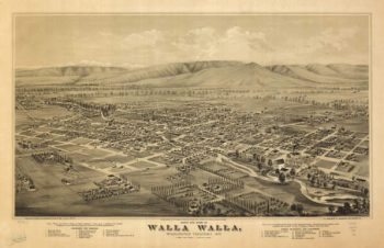
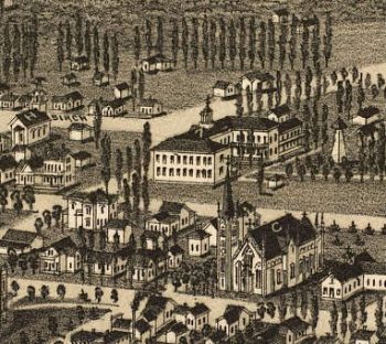
Walla Walla WA 1876
$17.95 – $47.95 -
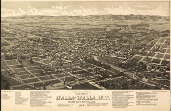
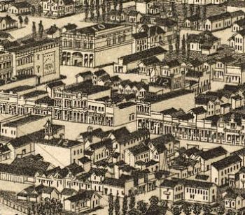
Walla Walla WA 1884
$17.95 – $47.95 -
Walla-Walla NY 1884
$17.95 – $47.95 -
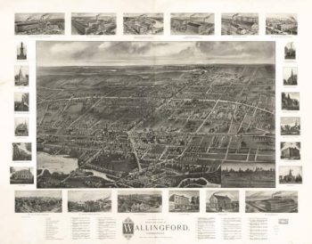
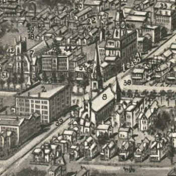
Wallingford CT in 1905
$17.95 – $47.95 -
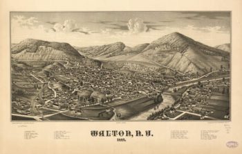
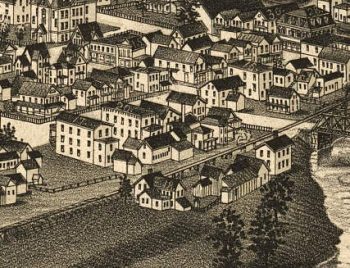
Walton NY 1887
$17.95 – $47.95 -
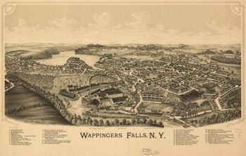
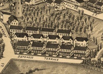
Wappingers Falls NY 1889
$17.95 – $47.95 -
Wareham Mass 1885
$17.95 – $47.95 -
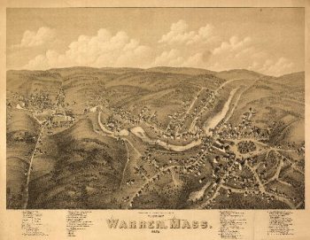
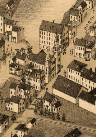
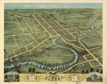
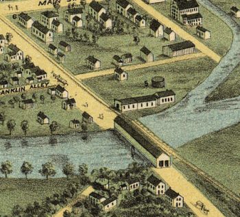
Warren Mass 1879
$17.95 – $47.95 -
Warren OH 1870
$17.95 – $47.95 -
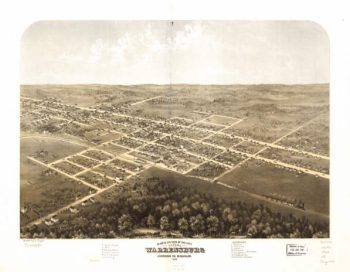
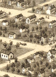
Warrensburg MO 1869
$17.95 – $47.95 -
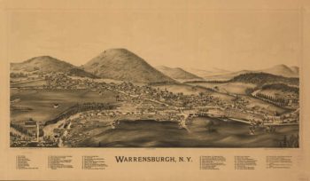
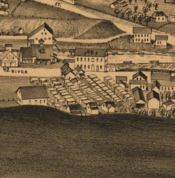
Warrensburg NY 1891
$17.95 – $47.95 -
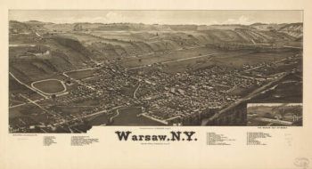
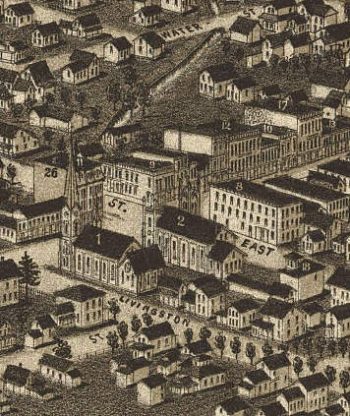
Warsaw NY 1885
$17.95 – $47.95 -
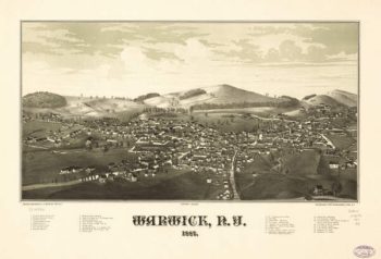
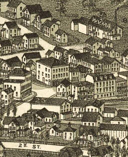
Warwick NY 1887
$17.95 – $47.95 -
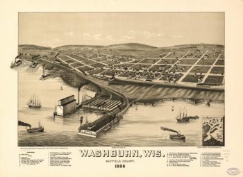
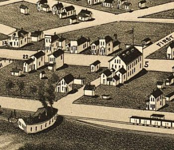
Washburn WI 1886
$17.95 – $47.95 -
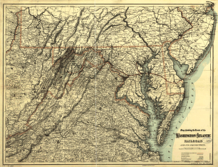
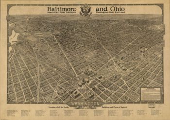
Washington and Atlantic Railroad
$17.95 – $47.95 -
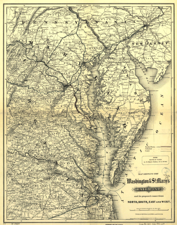
Washington and St
$17.95 – $47.95 -
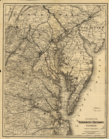
Washington City and Point Lookout Railroad
$17.95 – $47.95 -
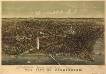
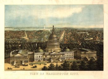
Washington DC Color in 1916
$17.95 – $47.95 -
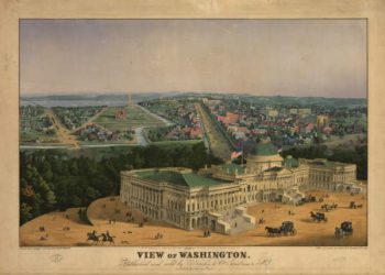
Washington DC in 1860's
$17.95 – $47.95 -
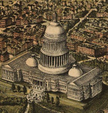
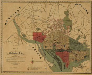
Washington DC in 1892
$17.95 – $47.95 -
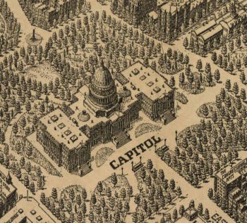
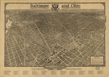
Washington DC in 1923
$17.95 – $47.95 -
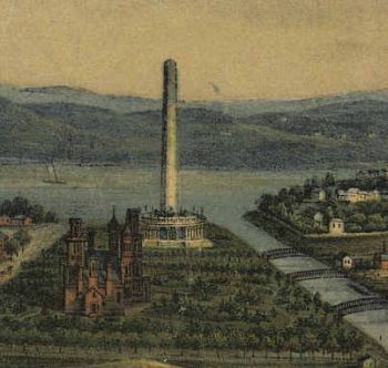
Washington DC in Color 1852
$17.95 – $47.95 -
Washington DC in Color 1856
$17.95 – $47.95 -
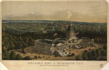
Washington DC in Color 1871
$17.95 – $47.95 -
Washington DC in Color 1996
$17.95 – $47.95 -
Washington MO 1869
$17.95 – $47.95 -
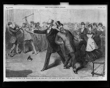
Washington, D.C.–The attack on the President's life
$17.95 – $47.95 -
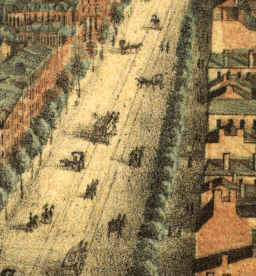
Washington, D.C., and environs
$17.95 – $47.95 -
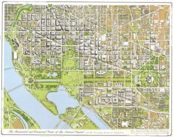
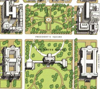
Washington, the beautiful capital of the nation
$17.95 – $47.95 -
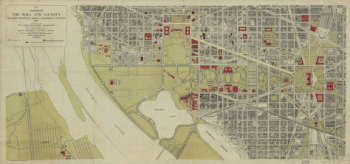
Washington, the Mall and vicinity
$17.95 – $47.95 -
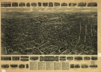
Waterbury CT in 1917
$17.95 – $47.95 -
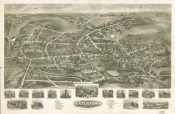
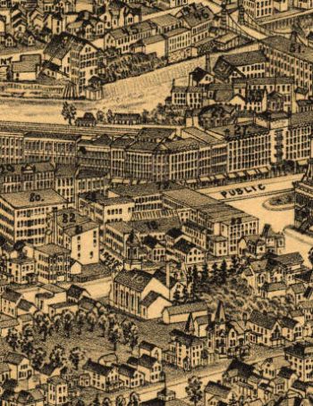
Watertown CT in 1918
$17.95 – $47.95 -
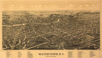
Watertown NY 1891
$17.95 – $47.95 -
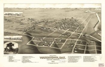
Watertown SD 1883
$17.95 – $47.95 -
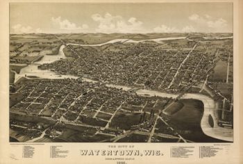
Watertown WI 1885
$17.95 – $47.95 -
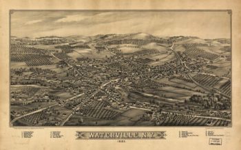
Waterville NY 1885
$17.95 – $47.95 -
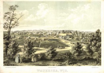
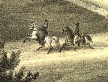
Waukesha WI 1857
$17.95 – $47.95 -
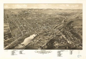
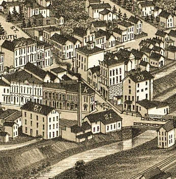
Waukesha WI 1880
$17.95 – $47.95 -
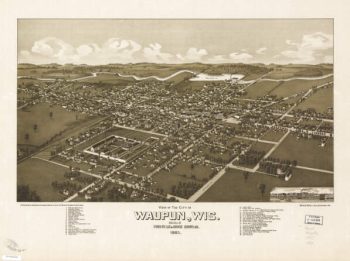
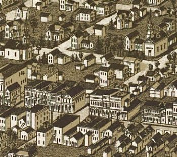
Waupun WI 1885
$17.95 – $47.95 -
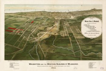
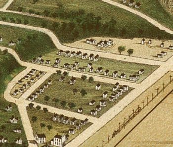
Wauwatosa WI 1892
$17.95 – $47.95 -
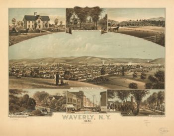
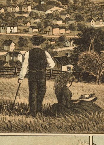
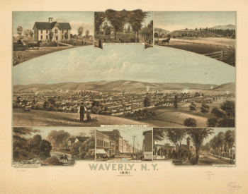
Waverly NY 1881
$17.95 – $47.95 -
Waverly, N.Y. 1881. Thomas Hunter Lith.
$17.95 – $47.95 -
Waynesboro VA 1891
$17.95 – $47.95 -
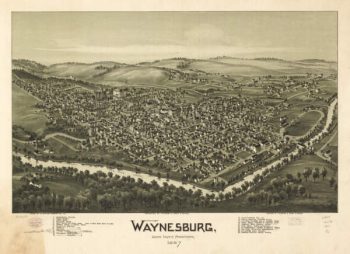
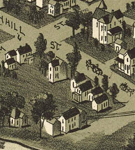
Waynesburg PA 1897
$17.95 – $47.95 -
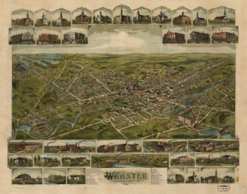
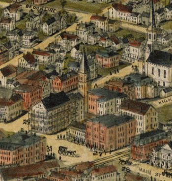
Webster Mass Color 1892
$17.95 – $47.95