12" x 18"
-


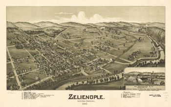
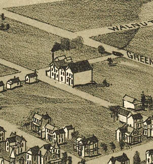
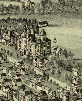
Zelienople PA 1901
$17.95 – $47.95 -
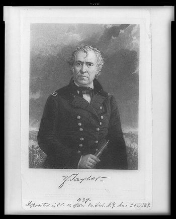
Zachary Taylor
$17.95 – $47.95 -
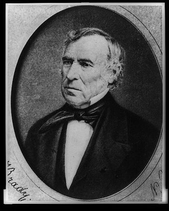
Zachary Taylor
$17.95 – $47.95 -
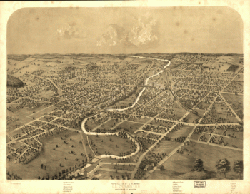
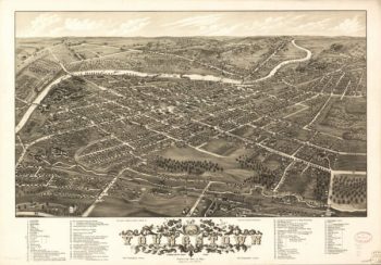
Youngstown OH 1882
$17.95 – $47.95 -
Young America lIllinois 1869
$17.95 – $47.95 -
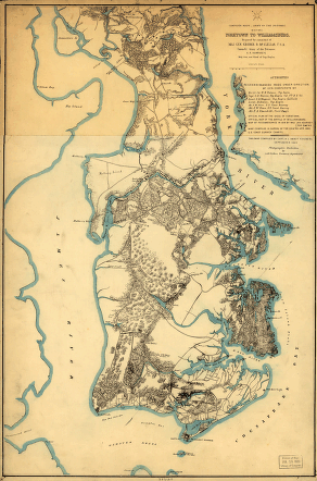
Yorktown to Williamsburg
$17.95 – $47.95 -
Yorktown to Williamsburg
$17.95 – $47.95 -
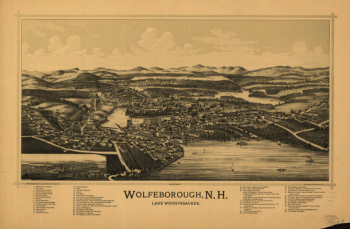
York River and Mobjack Bay, Va
$17.95 – $47.95 -
York PA 1852
$17.95 – $47.95 -
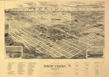
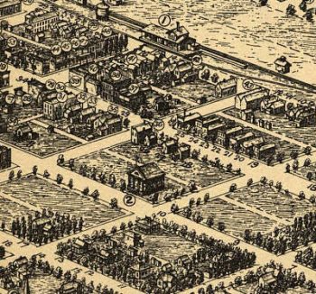
Yakima WA 1889
$17.95 – $47.95 -
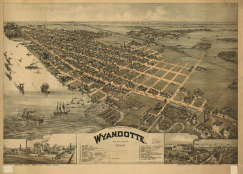
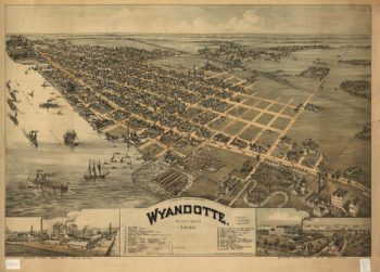
Wyandotte, Michigan 1896. Drawn by T. M. Fowler.
$17.95 – $47.95 -
Wyandotte MI 1896
$17.95 – $47.95 -
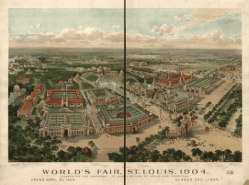
World's Fair, St Louis, 1904
$17.95 – $47.95 -
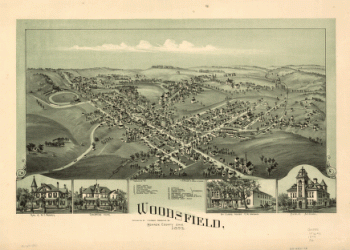
Woodsfield, Monroe County, Ohio, 1899
$17.95 – $47.95 -
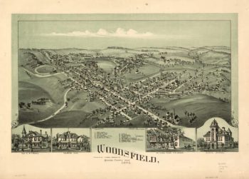
Woodsfield OH 1899
$17.95 – $47.95 -
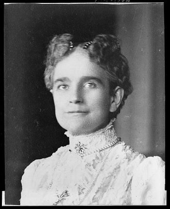
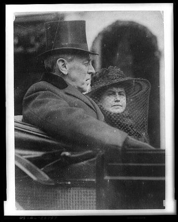
Woodrow Wilson and wife
$17.95 – $47.95 -
Woodrow Wilson and wife
$17.95 – $47.95 -
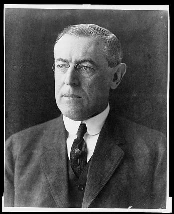
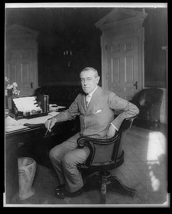
Woodrow Wilson
$17.95 – $47.95 -
Woodrow Wilson
$17.95 – $47.95 -
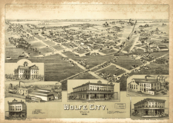
Wolfe City, Texas 1891.
$17.95 – $47.95 -
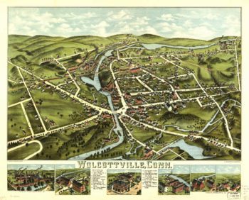
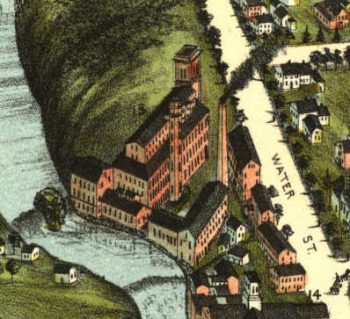
Wolcottville CT Color 1878
$17.95 – $47.95 -
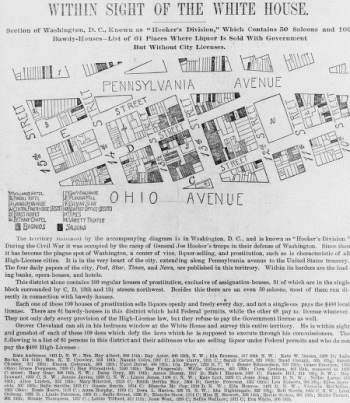
Within sight of the White House : section of Washington, D.C.
$17.95 – $47.95 -
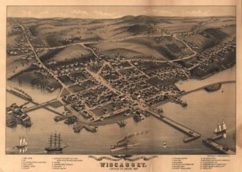
Wiscasset Maine 1878
$17.95 – $47.95 -
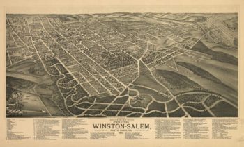
Winston-Salem NC 1891
$17.95 – $47.95 -
Winnipeg
$17.95 – $47.95 -
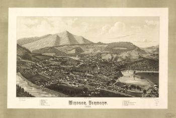
Windsor VT 1886
$17.95 – $47.95 -
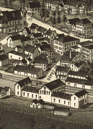
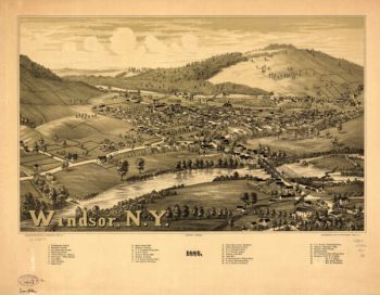
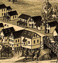
Windsor NY 1887
$17.95 – $47.95 -
Windsor Locks CT in 1877
$17.95 – $47.95 -
Winchester VA 1926
$17.95 – $47.95 -
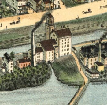
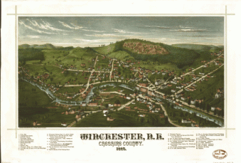
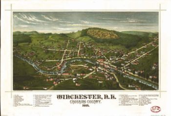
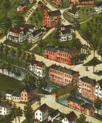
Winchester NH Color 1887
$17.95 – $47.95 -
Winchester and Potomac Railroad Company
$17.95 – $47.95 -
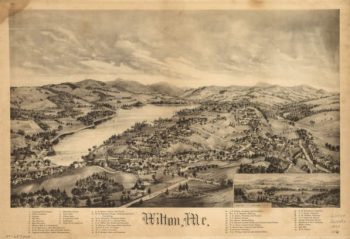
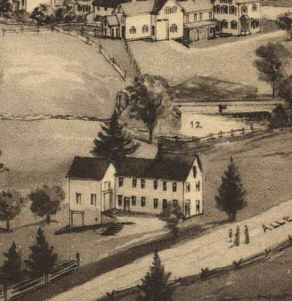
Wilton Maine 1895
$17.95 – $47.95 -
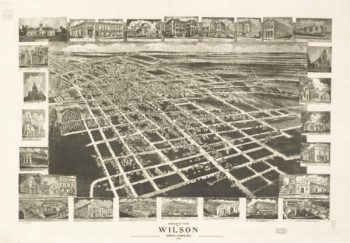
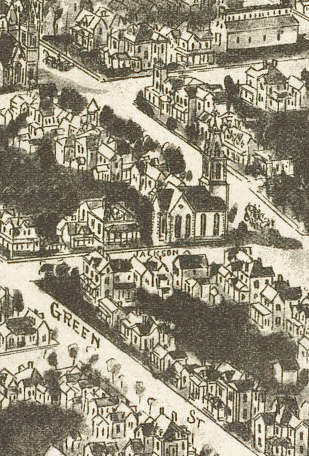
Wilson NC 1908
$17.95 – $47.95 -
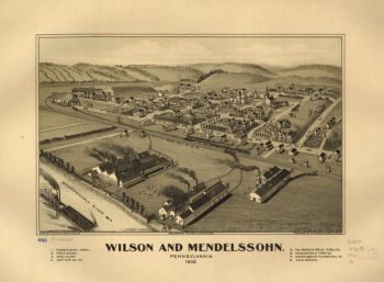
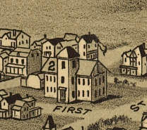
Wilson & Mendelssohn PA 1902
$17.95 – $47.95 -
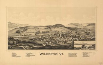
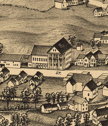
Wilmington VT 1891
$17.95 – $47.95 -
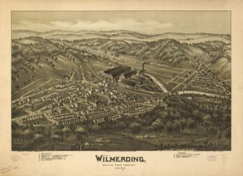
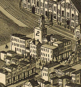
Wilmerding PA 1897
$17.95 – $47.95 -
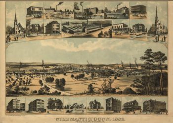
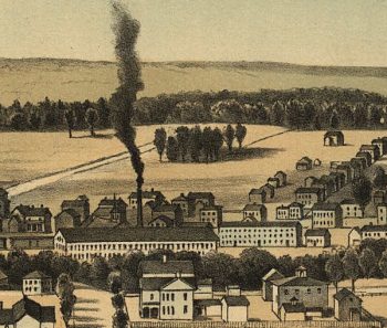
Willimantic CT in 1882
$17.95 – $47.95 -
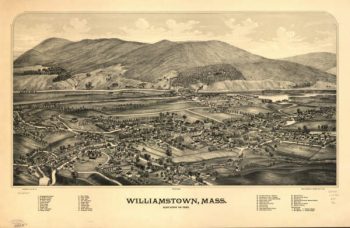
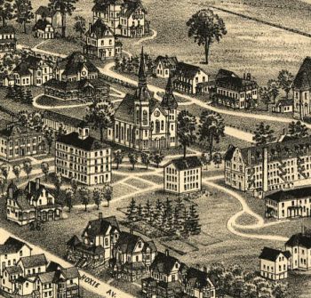
Williamstown Mass 1889
$17.95 – $47.95 -
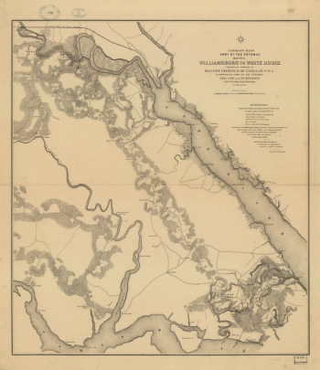
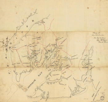
Williamsburg to White House
$17.95 – $47.95 -
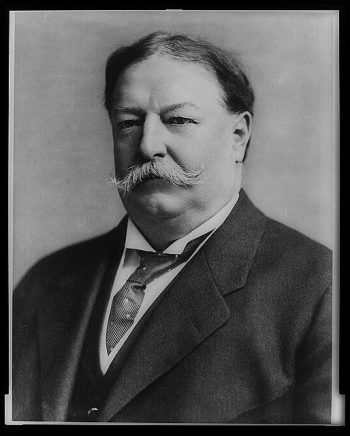
William Taft
$17.95 – $47.95 -
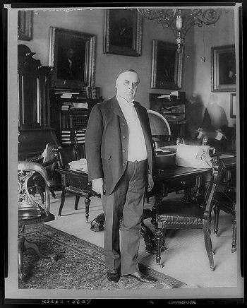
William McKinley
$17.95 – $47.95 -
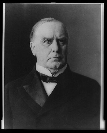
William McKinley
$17.95 – $47.95 -
William McKinley
$17.95 – $47.95

![Winter quarters 1864 : [vicinity of Lookout Mountain, Tennessee] / profile by G.H. Blakeslee T.E., March 10-1864.](https://www.ushistoricalarchive.com/wp-content/uploads/nc/data/products/im/sm/tn/b76-350x275.gif)