12" x 18"
-

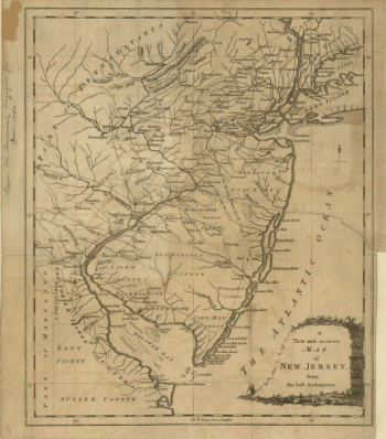
A new and accurate map of New Jersey, from the best authorities
$17.95 – $47.95 -
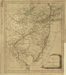
A new and accurate map of New Jersey, from the best authorities
$17.95 – $47.95 -
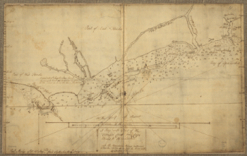
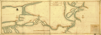
A new and accurate chart of the harbour of Boston in New England
$17.95 – $47.95 -
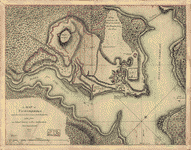
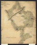
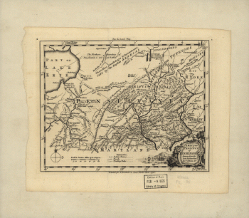
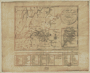
A Map of Ticonderoga
$17.95 – $47.95 -
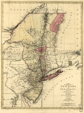
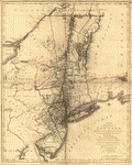
A map of the provinces of New-York and New-Yersey
$17.95 – $47.95 -
A map of the provinces of New-York and New-Yersey
$17.95 – $47.95 -
A map of the provinces of New-York and New-Yersey
$17.95 – $47.95 -
A map of the provinces of New-York and New Jersey
$17.95 – $47.95 -
A map of the provinces of New-York and New Jersey
$17.95 – $47.95 -
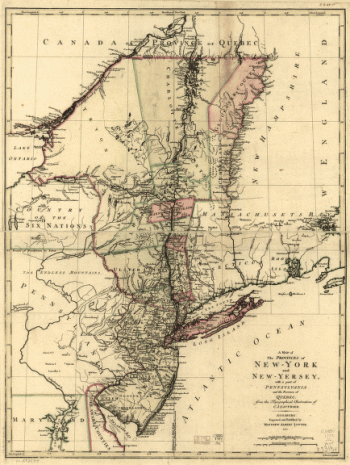
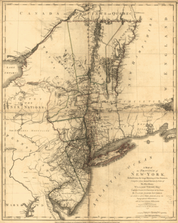
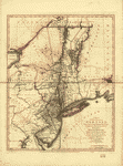
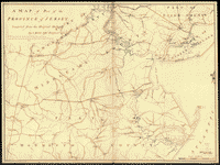
A map of the Province of New-York
$17.95 – $47.95 -
A map of the Province of New-York
$17.95 – $47.95 -
A map of the Province of New-York
$17.95 – $47.95 -
A map of the Province of New York
$17.95 – $47.95 -
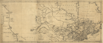
A map of the north west parts of America
$17.95 – $47.95 -
A map of the middle British colonies in North America
$17.95 – $47.95 -
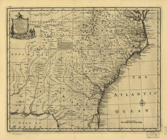
A map of the British and French settlements in North America
$17.95 – $47.95 -
A map of part of the province of Jersey
$17.95 – $47.95 -
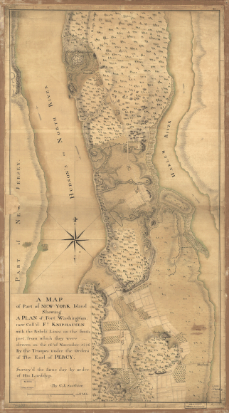
A map of part of New-York Island
$17.95 – $47.95 -
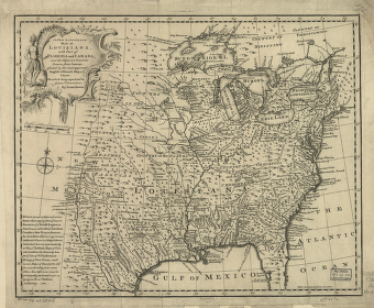
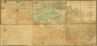
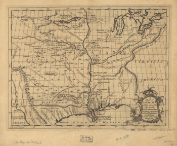
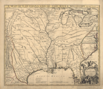
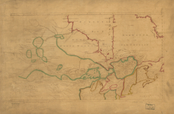
A map of Louisiana and of the river Mississipi
$17.95 – $47.95 -
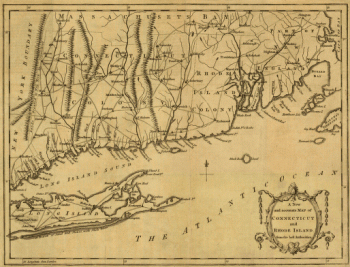
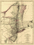
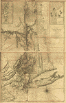
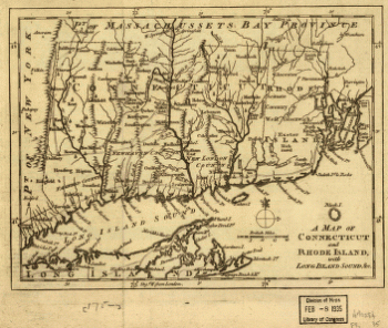
A map of Connecticut and Rhode Island with Long Island Sound, &c
$17.95 – $47.95