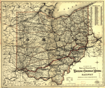
Schuchman, William, b. 1823 or 4. CREATED/PUBLISHED Pittsburgh, 1850. NOTES Scale ca. 1:1,500,000. Outline map of the northeastern and north-central United States showing the railroad network. 'Comparative Distances by the Great Railway Routes of Ohio from Columbus to New York' are listed to the right of the map. Chartered February 8, 1847.

Map of the Central Ohio Railroad and connecting lines.
$17.95 – $47.95
SKU: smoh18
Related products
-

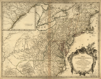
A map of the middle British colonies in North America
$17.95 – $47.95 -
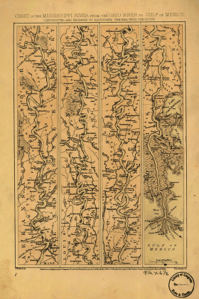
Mississippi River from the Ohio River to Gulf of Mexico
$17.95 – $47.95