Shewing the routes followed by the Army of the Tennessee under the command of Maj. Genl. U.S. Grant, U.S. Vols. in its march from Millikens Bend to the rear of Vicksburg in April and May 1863. Wilson, Js. H. CREATED/PUBLISHED N.Y., Julius Bien & Co., photo lith., 1876. NOTES Scale 1:126,720. Drawn by: Maj. O. H. Matz, Asst. Eng. & 1st Lt. L. Helmle, 3d Mo. Vols. Inft. Surveys by: 1st Lt. P. C. Hains, U.S. Eng. & Asst. Engrs. Ulffers, Wrigley, Tunica, McComas & Mason. Geographl. authorities: La Tourette's sectl. map, U.S. land surveys, official county and city maps.' Map of Hinds and Warren counties, Mississippi and parts of Claiborne County, Mississippi, and Madison County, Louisiana, showing Union positions in blue and Confederate positions in red, fortifications, 'routes followed by the army of the Tenn.,' roads, railroads, drainage, some vegetation along the Mississippi River, towns, relief by hachures, and a few houses and names of residents. Legend contains a brief description of the 'face of country,' 'soil,' 'productions,' 'roads,' 'streams,' 'fords,' and 'bayous.'

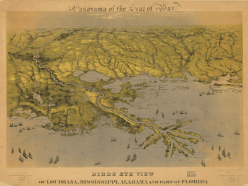
The country between Millikens Bend, La. and Jackson, Miss.
$17.95 – $47.95
SKU: smla71
Related products
-

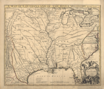
A map of Louisiana and of the river Mississipi
$17.95 – $47.95 -
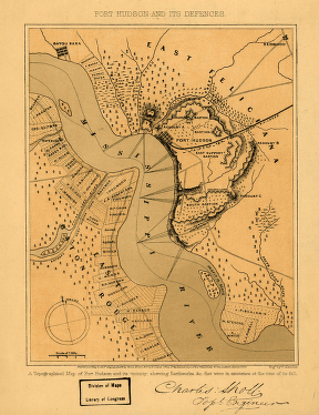
Port Hudson and its defences
$17.95 – $47.95 -
Port Hudson
$17.95 – $47.95