Map of Illinois Central R.R. U.S. central states from Great Lakes to Gulf of Mexico, showing relief by hachures, drainage, cities and towns, roads and railroads. Principal north-south line, chartered in 1850 and incorporated in 1851. 706 miles opened for traffic in 1856. First railroad to receive lands granted by the passage of the “Illinois Central Land Grant Bill.” Rand McNally and Company. CREATED/PUBLISHED [Chicago, 1892] Scale ca. 1:2,700,000.

Illinois Central Railroad Company
$17.95 – $47.95
SKU: rrdk49
Related products
-

Western and Atlantic Railroad Company
$17.95 – $47.95 -
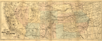
Union Pacific Railroad Company
$17.95 – $47.95 -
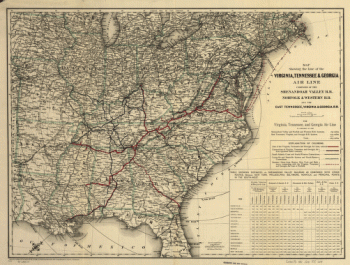
Virginia, Tennessee, and Georgia Air Line Railroad
$17.95 – $47.95 -
Western and Atlantic Railroad Company
$17.95 – $47.95