A correct map of the United States of America showing the Atchison, Topeka, and Santa Fé R.R. and connections. Map of the United States showing relief by hachures, drainage, cities and towns, stations, and the railroad network with the main line emphasized. Advertisements at top of map. Rand McNally and Company. CREATED/PUBLISHED Chicago, [1888] Scale ca. 1:8,000,000.

Atchison, Topeka, and Santa Fe Railroad Company
$17.95 – $47.95
SKU: rrac11
Related products
-

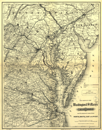
Washington and St
$17.95 – $47.95 -
Union Pacific Railway Company
$17.95 – $47.95 -
Western and Atlantic Railroad Company
$17.95 – $47.95 -
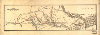
West Philadelphia Rail Road Company
$17.95 – $47.95