A large portion of Georgia & part of adjoining states. Colton, J. H. (Joseph Hutchins), 1800-1893. CREATED/PUBLISHED New York Printed by Lang & Laing 1861. NOTES Scale ca. 1:1,550,000. Indicates forts, towns, roads, railroads, county names and boundaries, geographic coordinates, and rivers. Drawings of ships offshore denote naval blockade.

J. H. Colton's topographical map of North and South Carolina
$17.95 – $47.95
SKU: smnc75
Related products
-

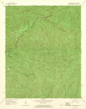
North Carolina. – Clingmans Dome
$17.95 – $47.95 -
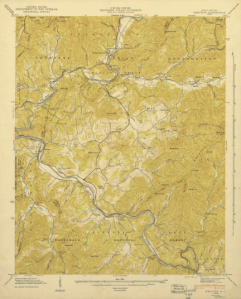
North Carolina. – Whittier
$17.95 – $47.95