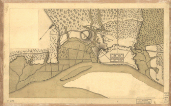
Drawn by A. Lindenkohl. H. Lindenkohl & Chas. G. Krebs, lith. CREATED/PUBLISHED [S.l.], U.S. Coast Survey, A. D. Bache, Supdt., 1865 NOTES Scale 1:633,600. General map, without title, extending from Charleston west to the western boundary of Georgia. State names, boundaries, and railroads are overprinted in red.

Northern Georgia and western and central South Carolina
$17.95 – $47.95
SKU: smga13
Related products
-

Savannah and its environs.
$17.95 – $47.95 -
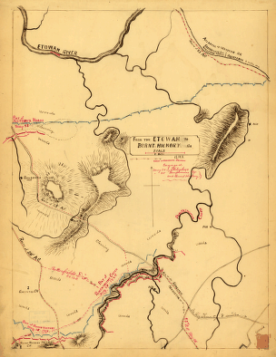
From the Etowah to Burnt-Hickory, Ga.
$17.95 – $47.95 -
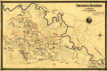
Chickamauga battlefield. Accompanies The battle of Chickamauga
$17.95 – $47.95 -
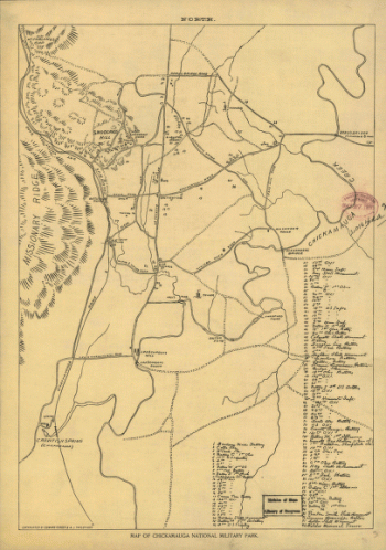
Map of Chickamauga National Military Park.
$17.95 – $47.95